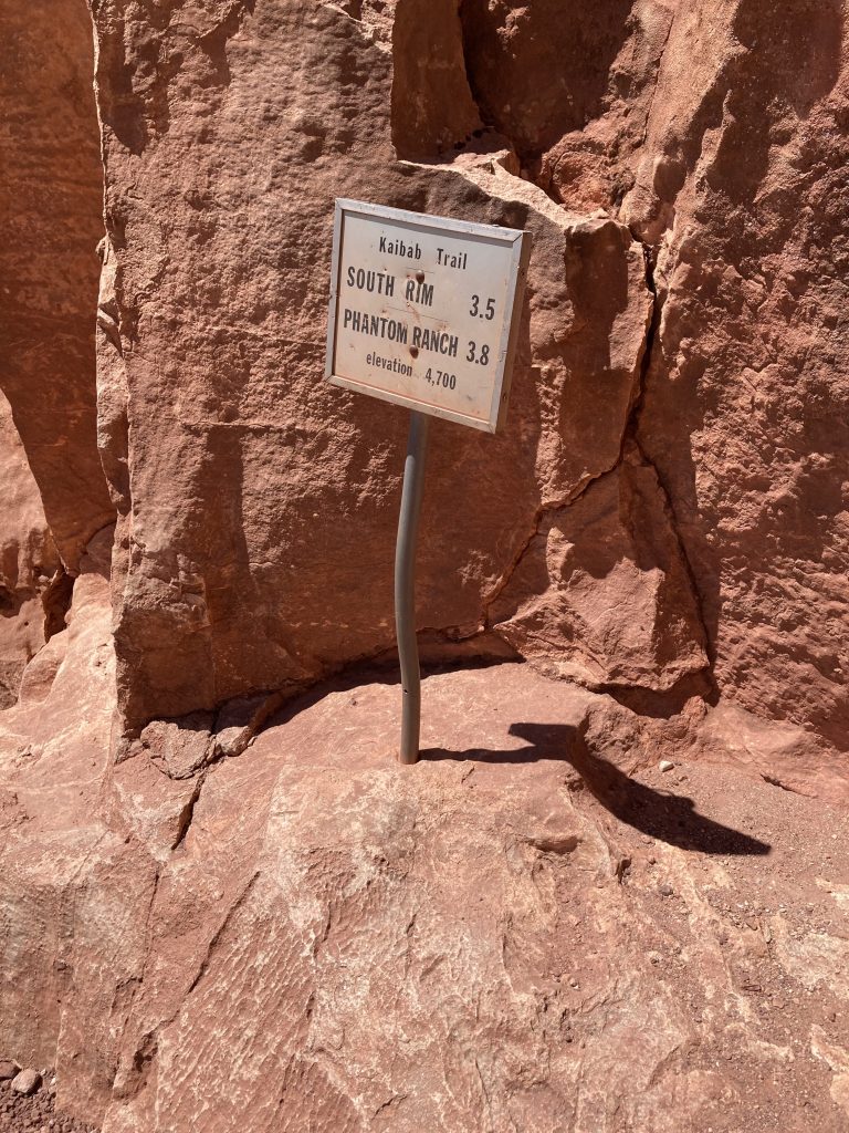
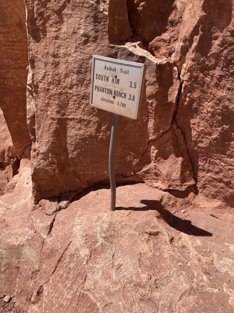
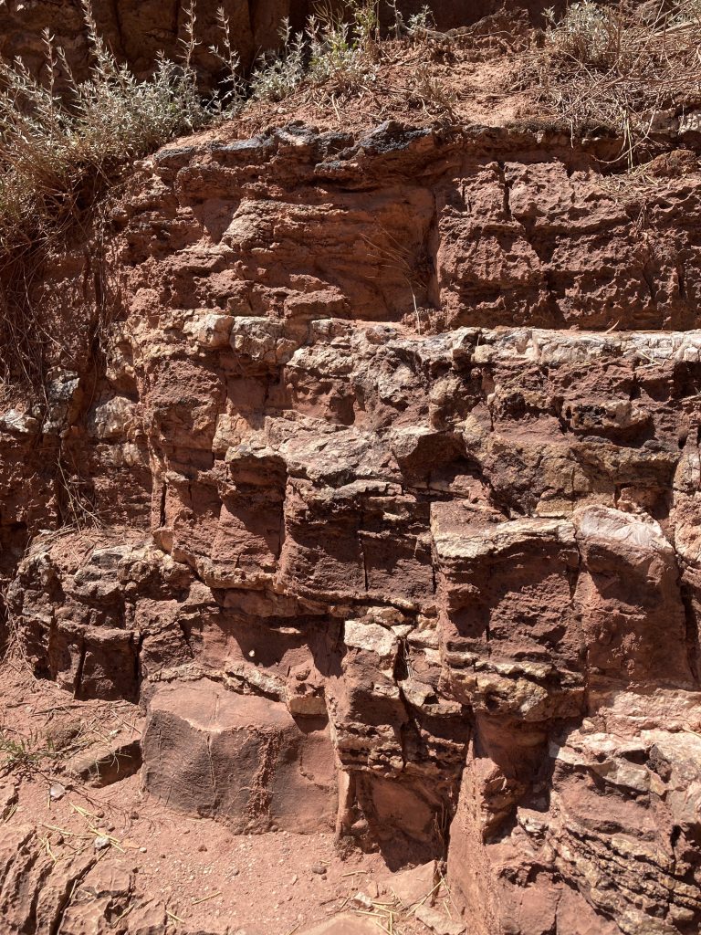
Halfway marker South Kaibab Trail – in Temple Butte rock – April 30 2026 at 10:56:18 AM
I wanted to spend time in the Temple Butte Formation. I had seen it from a distance from the Bright Angel Trail and passed through it briefly on the North Kaibab, but I really had no idea how to tell it apart from the Redwall Limestone above it. To prepare, I studied geology maps and satellite imagery along the South Kaibab Trail and read about the formation and its depositional environment.
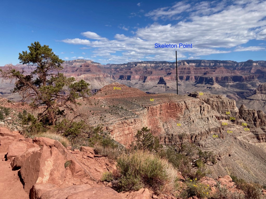
April 20 2026 at 9:45:15 AM – Standing in the Supai Formation below O’Neill Butte looking toward Skeleton Point (a little over 2/3 across the photo). At Skeleton the trail descends into a Redwall saddle (you can visualize the saddle but not see it in this view). Below the saddle are visible switchbacks coming down the Muav Formation (far right). A thin band of darker rock immediately above the switchbacks is Temple Butte Formation. The tall cliffs above it are Redwall, which here appear tan in color. See a markup of this photo below.
From geology map to trail – locating the Temple Butte rocks
On the trail itself it’s easy to lose focus. To help myself remember, I only needed to look at my hand.
On a map the switchbacks below Skeleton Point appear splayed out like a hand with the pinky finger turned down. Below Skeleton Point there is a saddle in the Redwall Formation where you cross from the thumb to the index finger. The index through the ring finger point north toward the river. The pinky finger is the first of two very small switchbacks pointing south.
Once I actually see the “fingers”, they don’t look like fingers at all, but at least I know where to look. Below the ring finger I get my first glimpse of the Temple Butte.
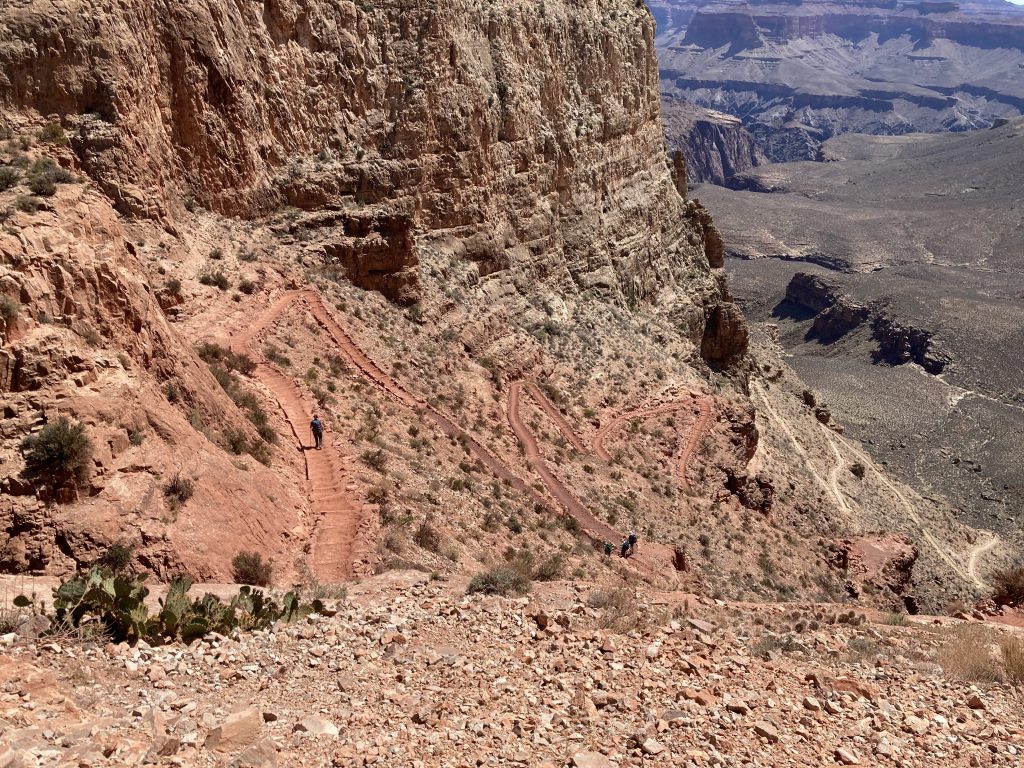
A small glimpse of the Temple Butte Formation – April 30 2026 at 10:35:38 AM – I’m standing on South Kaibab Trail below Skeleton Point – In my hand analogy, I can see (upper to lower) the index, middle, and ring fingers pointing north toward the Colorado River. Below the ring finger is a bit of Temple Butte rock juts out. Further down trail are light color switchbacks are in Muav.Two small switchbacks (on the right) pointing south are fully in the Temple Butte formation. April 30, 2026 at 10:47:22 AM
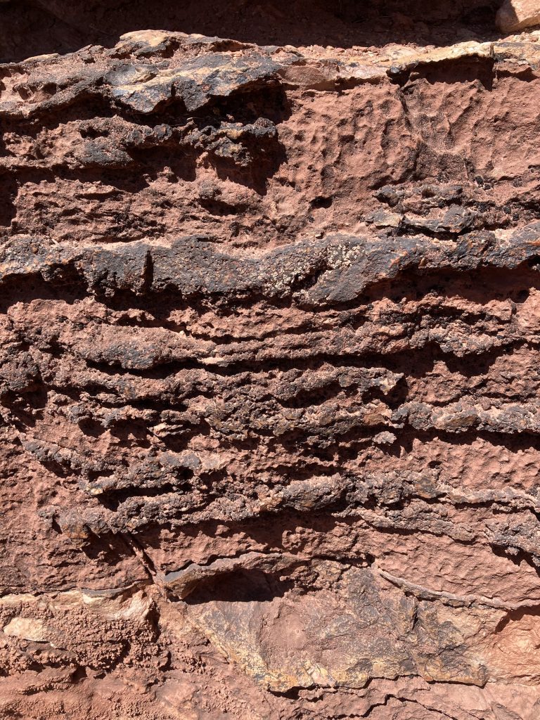
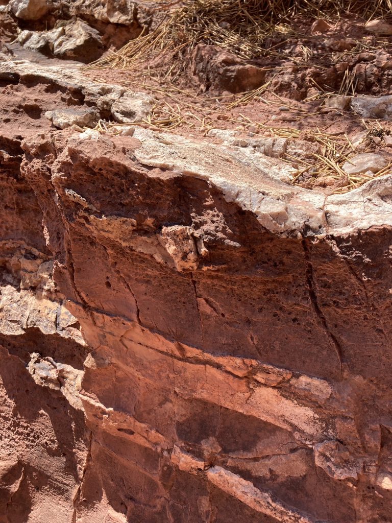
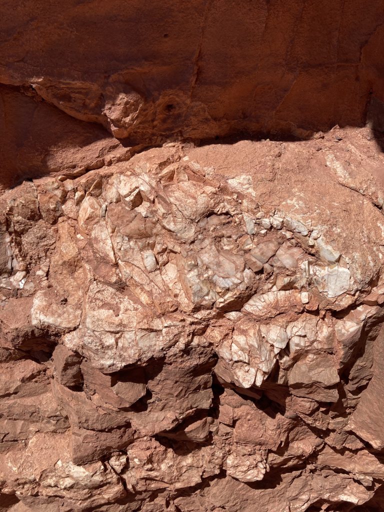
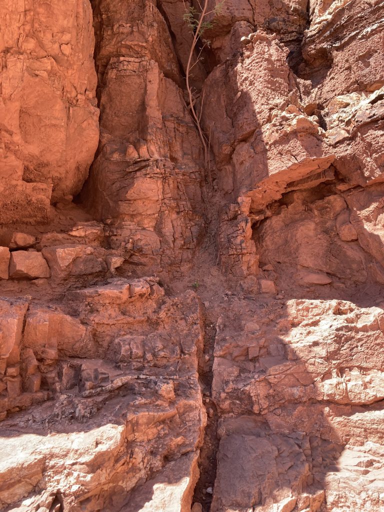
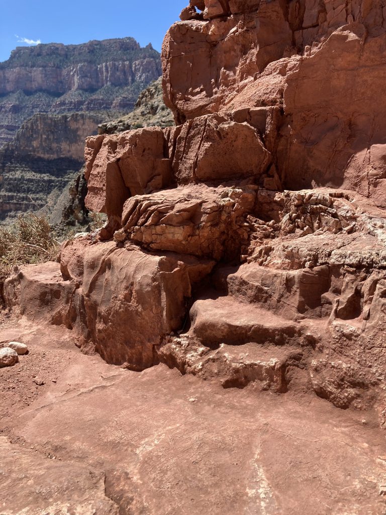
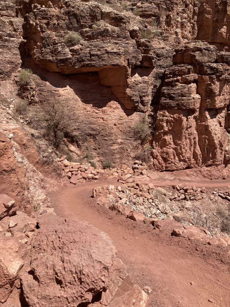
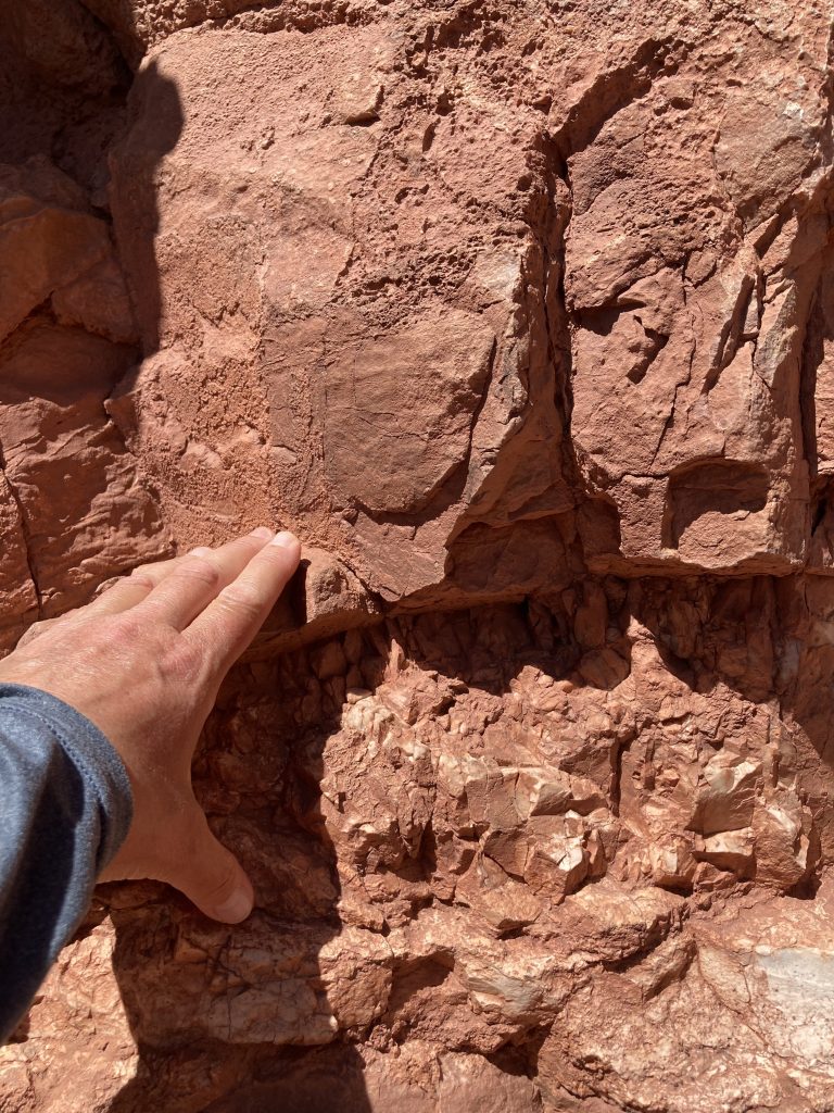
As I passed through the Temple Butte rocks, I noticed patterns and variety. It almost looked like someone had taken a melon baller to the surface, leaving rounded indentations in many places. The Temple Butte was formed 385 million years ago in shallow seas and tidal channels during the middle to late Devonian period. It is the only formation from the Devonian to be preserved in the Grand Canyon. Though not many fossils have been identified in the Temple Butte rocks at Grand Canyon, among them are fish. The rocks in Temple Butte are formed from dolomite, sandstone, mudstone, and limestone.
(click on the photos to pull up the larger photos and read the captions)
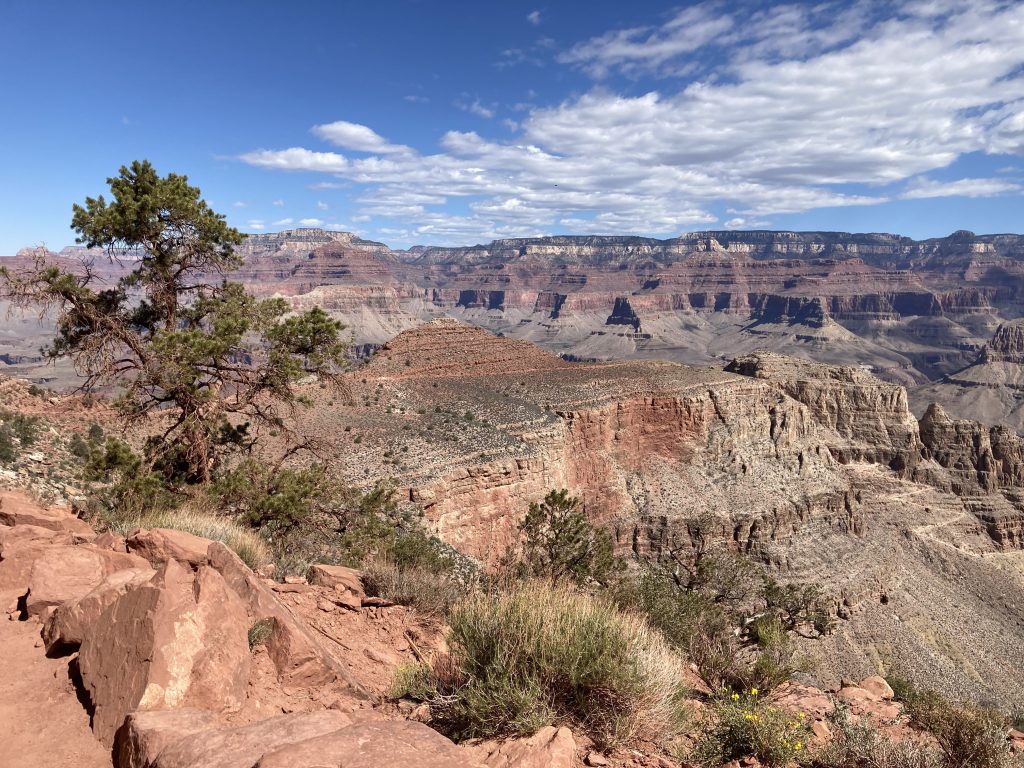
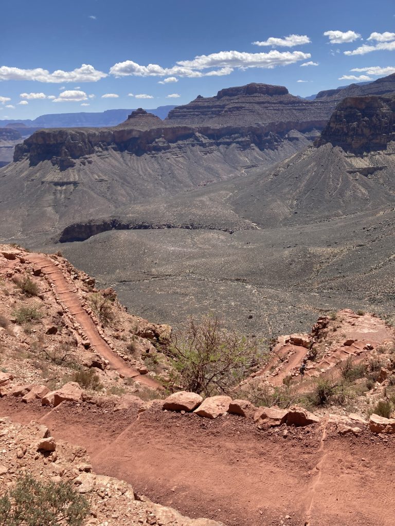
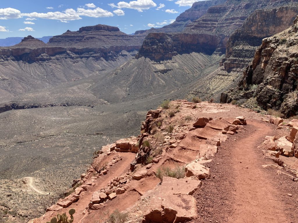
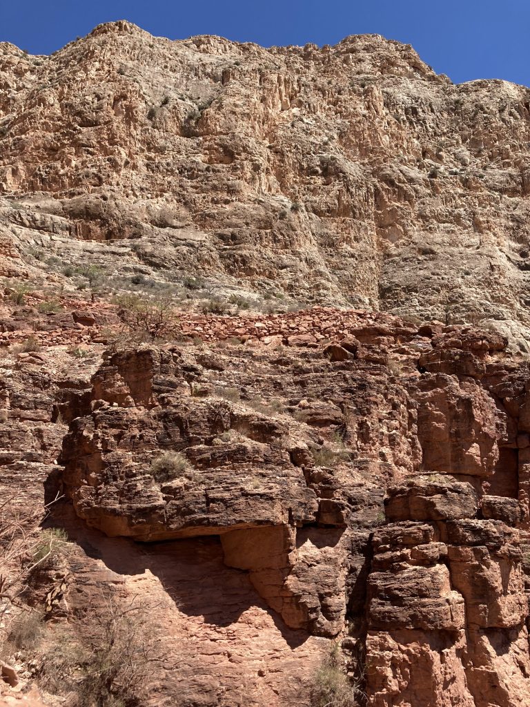
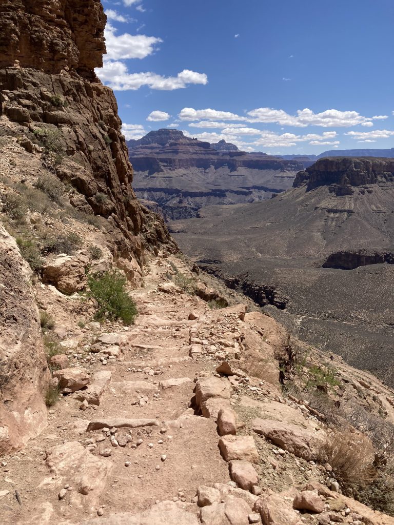
Two small switchbacks in Temple Butte – April 30 2026 at 10:55:37 AM – The half- way marker is located here. The trail above and below are in Temple Butte. The cliff on the upper right is Redwall. A lighter colorred trail in Muav is visible on the lower left. The switchback looks over and abuts a fault the runs through the saddle.Halfway marker South Kaibab Trail – in Temple Butte rock – April 30 2026 at 10:56:18 AM – I stopped and talked with Les, a math professor at San Jose – he and his wife had traveled this trail a number of times and he said he was always glad to reach this sign. Met up with him at dinner and at Havasupai Gardens over coffee. Happy trails, Les!Trailside Temple Butte rocks near the trail marker – Spril 30 2026 at 10:58:07 AMWhite layers in the Temple Butte – trailside – April 30 at 10:58:25 AMTemple Butte from the Devonian Period – halfway down South Kaibab Trail April 29 at 10:58:39 AMExposed white layers trailside in the Temple Butte Formation – April 30 2026 at 10:59:05 AMTree or shrub growing in Temple Butte Formation – April 30 2026 at 10:59:25 AMAt the adge of a small south pointing switchback in the Temple Butte Formation – April 30 2026 at 10:59:32 AM – edge of the fault that passes through the Redwall saddle below Skeleton PointTemple Butte below the 2 small switchbacks – April 30 2026 at 10:59:43 AMView of the Tample Butte – Redwall contact on South Kaibab Trail – April 30 2026 at 11:00:19 – Standing in Temple Butte near the halfway marker and looking up at the switchback where the upper Temple Butte (darker rock – reddish brown) is overlain by Redwall Limestone (the lighter color tan cliff).White rocks in the Temple Butte – April 30 2026 at 11:01:30 AMThe lower end of Temple Butte ends at the swtichback – April 30 2026 at 11:09:05 AMMARK-UP – Standing below O’Neill Butte looking toward Skeleton Point and the Temple Butte Formation – April 20 2026 at 9:45:15 AM – The trail in Muav is visible on the right. The upper and lower contacts of Temple Butte are visible. Abbreviations – PMs (PNMs) – Supai, Mr Redwall, Dtb Temple Butte, Cm Muav. This is an interpretation of a photo I took – based on geological maps and satellite imagery.