Curious things


Click on the photos above for more content.
RocksTalk
small rock, big journey
I scooped up a handful of rocks. “Where did you come from?”
The rocks of Bright Angel Creek were surely small mysteries, and while I did not expect them to answer, I came to understand that rocks have their own way of speaking.
Rocks are perhaps our oldest historians
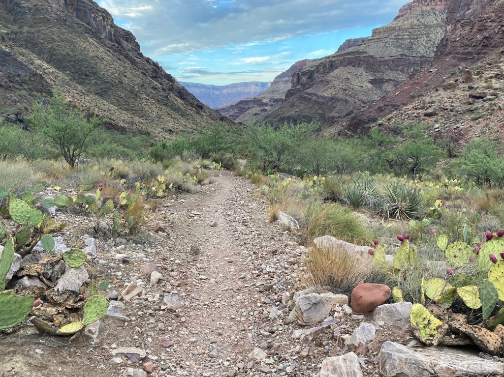
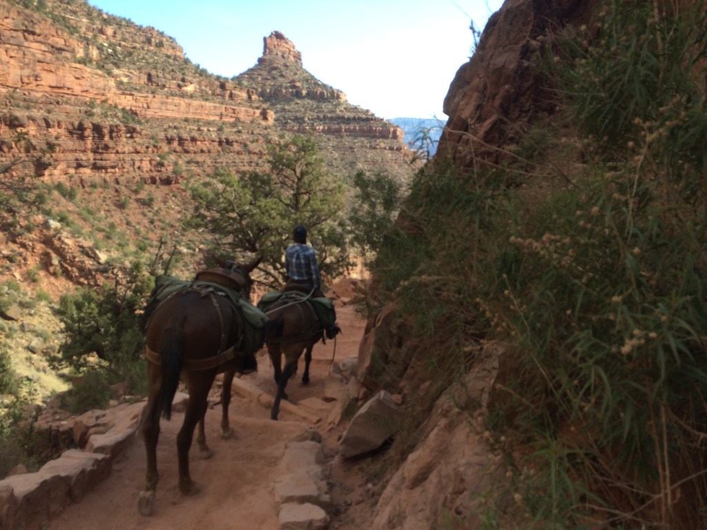
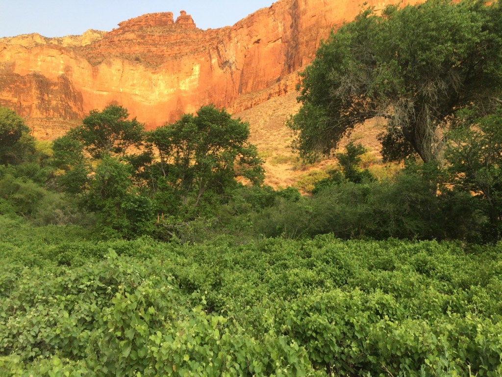
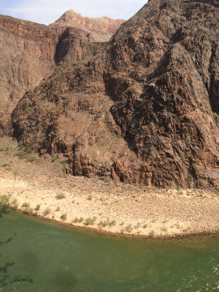
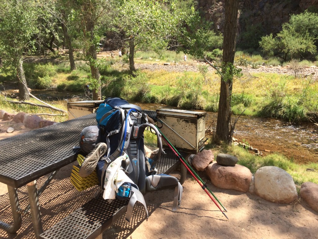
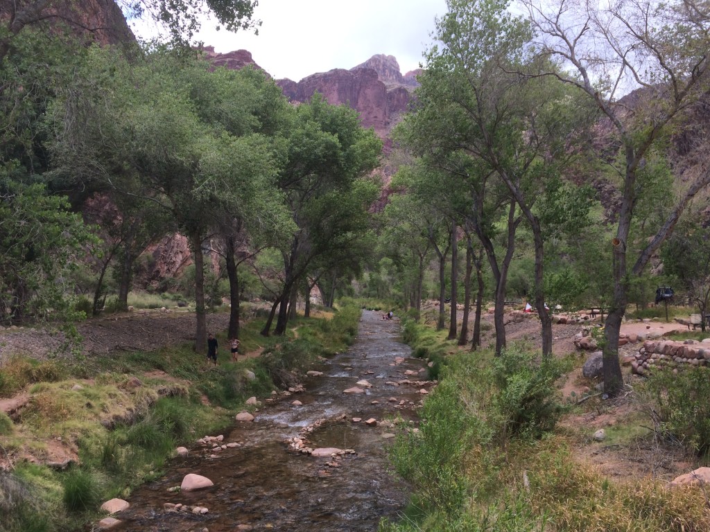
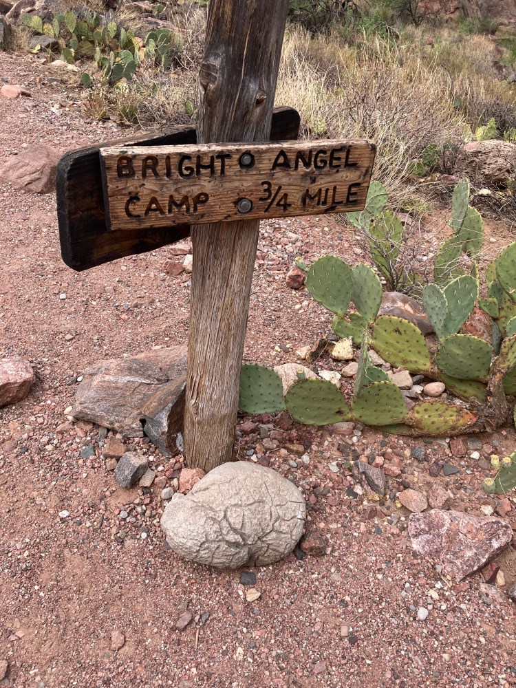
Bright Angel Creek runs through Bright Angel Campground at the bottom of the Grand Canyon. I sat with my back against a boulder, cool water rushing around, forming a pool. Small fish tickled my ankles.
I scooped a handful of pebbles and small rocks, noticing their colors and textures. A purple and green rock, both rounded and jagged, had a raised image that looked like a buffalo and a flat marking that looked like a pronghorn.
“Where did you come from?” I asked the rock. “Has it been a long journey?” I looked at the canyon walls and all their colors. “It took me a few thousand miles by air and 2 days by foot to get here,” I said. “I suppose your story is quite different.” I thought of the Big Bang. “I guess we all come from stardust, so perhaps not so different after all.” I set the rock down where my hand had found it, grateful that I was a witness to its journey through time.
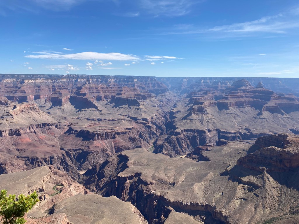
I looked again at the tall cliffs all around me. I saw the canyon differently. And I began to study it.

Like a lot of people, I started with memorizing the layers.
Know The Canyon’s History, Study Rocks Made By Time, Very slowly
The Yavapai Geology Museum sits at the Canyon edge on the South Rim. There I learned that the Grand Canyon Supergroup sat at an angle, sandwiched between horizontal layers above and the basement rocks below.
Something called the Great Unconformity had to do with younger flat layers sitting on top of the older Vishnu Schist & Zoroaster Granite. All this thinking called for ice cream.


Layered Paleozoic Rocks (millions of years)
Kaibab 270
Toroweap 275
Coconino 280
Hermit 285
Supai 290 – 320
Redwall 340
Muav 504
Bright Angel 506
Tapeats 508
Supergroup – Chuar
Kwagunt 729 – 753
Galeros 755 – 770
Nankoweap 775
Supergroup – Unkar
Cardenas Basalt 1104
unnamed diabase sills & dikes (Yi)
Dox (Yd) 1120
Shinumo 1130
Hakatai 1230
Bass 1255
Vishnu Basement
Granite Gorge Metamorphic Suite:
Vishnu Schist 1750
Brahma Schist 1750
Rama Schist & Gneiss 1751
Zoroaster Plutonic Complex:
Quartermaster Granite from later collisions causing crustal melts (Yg) 1375
Later granites and dike swarms – from collisions creating crustal melts (Xgr) 1662-1698
Granodiorite – from collisions of island arc magma chambers (Xgd) 1713-1740
Elves Chasm pluton – from Mojave microcontinent magma chambers (Xec) 1841
Rock story
There is a certain wildness in the lower rocks of the Grand Canyon. I wanted to understand what was happening. What did it mean that there is 1.2 billion years of missing geological time? Where did it go?
This question got me curious about parts of the canyon I had not hiked. I needed a better understanding of the Grand Canyon Supergroup rocks.
My safest route through the Supergroup would be down the North Kaibab Trail. I would have to step up my training and lighten my load.
After 6 months of intensive preparation, I started my fourth backpacking trip to the bottom and my first Rim to Rim, North to South.
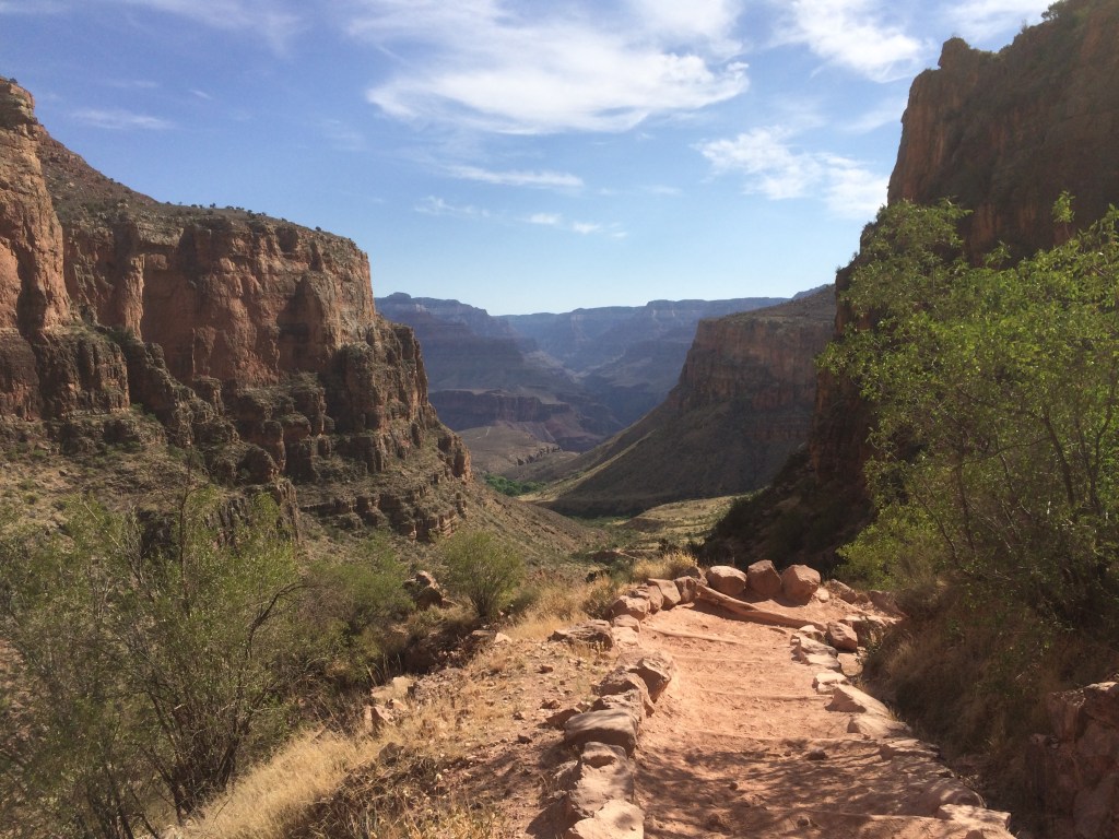
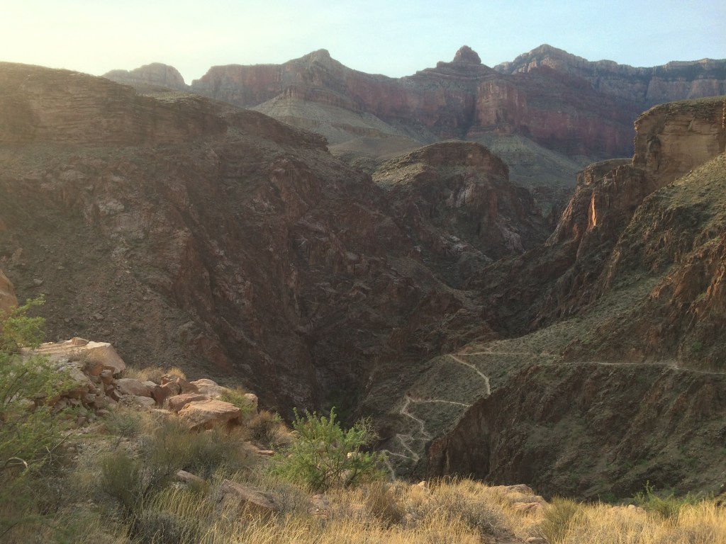
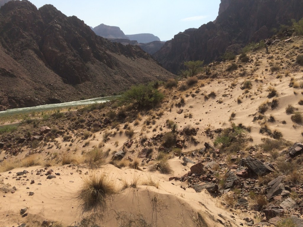
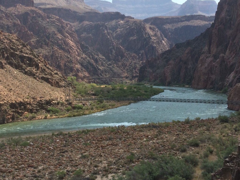
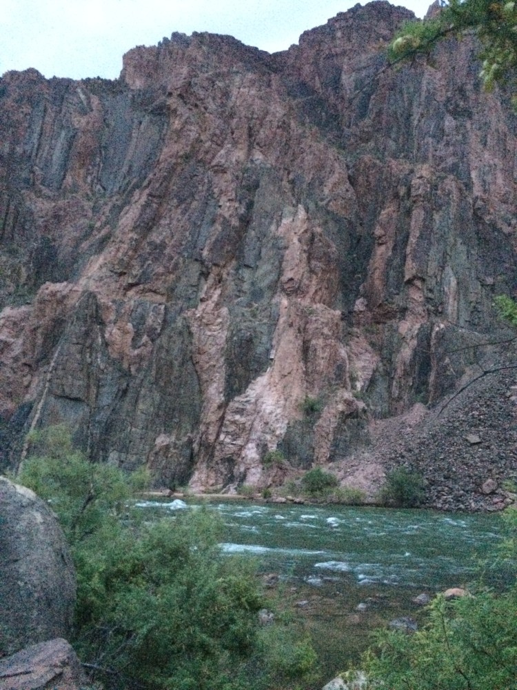
After 5 miles of steep descent I was standing on the footbridge at Manzanita where the trail crosses Bright Angel Creek. I looked down creek. I should be looking directly at the Dox Formation, the uppermost exposure of the Supergroup along North Kaibab Trail.
Upstream, I could just make out a rock bed where Manzanita Creek empties into Bright Angel Creek. I didn’t know it yet, but creek confluences would turn out to be important, for just below them are the uppermost exposures of Supergroup layers.
From my perch at Manzanita I didn’t see anything that screamed Dox. I took photos and a video. In the glaring sun I could not check the images. Maybe I would get lucky and find it when I returned home.
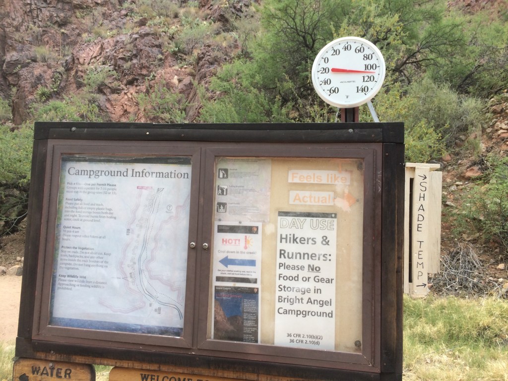
The canyon was heating up. My hamstrings felt like jelly. I needed to press on. Eventually I hobbled into Cottonwood campground.
A few months after my return I went through my photos. At first I didn’t see it, but then I zoomed in: a small bit of tilted brown rock. Could it be?
Searching for 1.2 billion years
I wanted to know if I could find the Great Unconformity on the trail itself and take a photo with one foot in the 1.7 billion old rocks and one foot in the 508 million year old rocks. Was this even possible?
The search led me to further questions, to a time when the site of today’s Grand Canyon was being fused by collisions of island volcanos onto a continent that would eventually become North America. Now the wildness in the rocks made more sense.


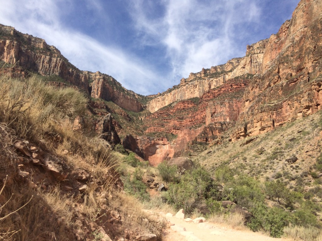
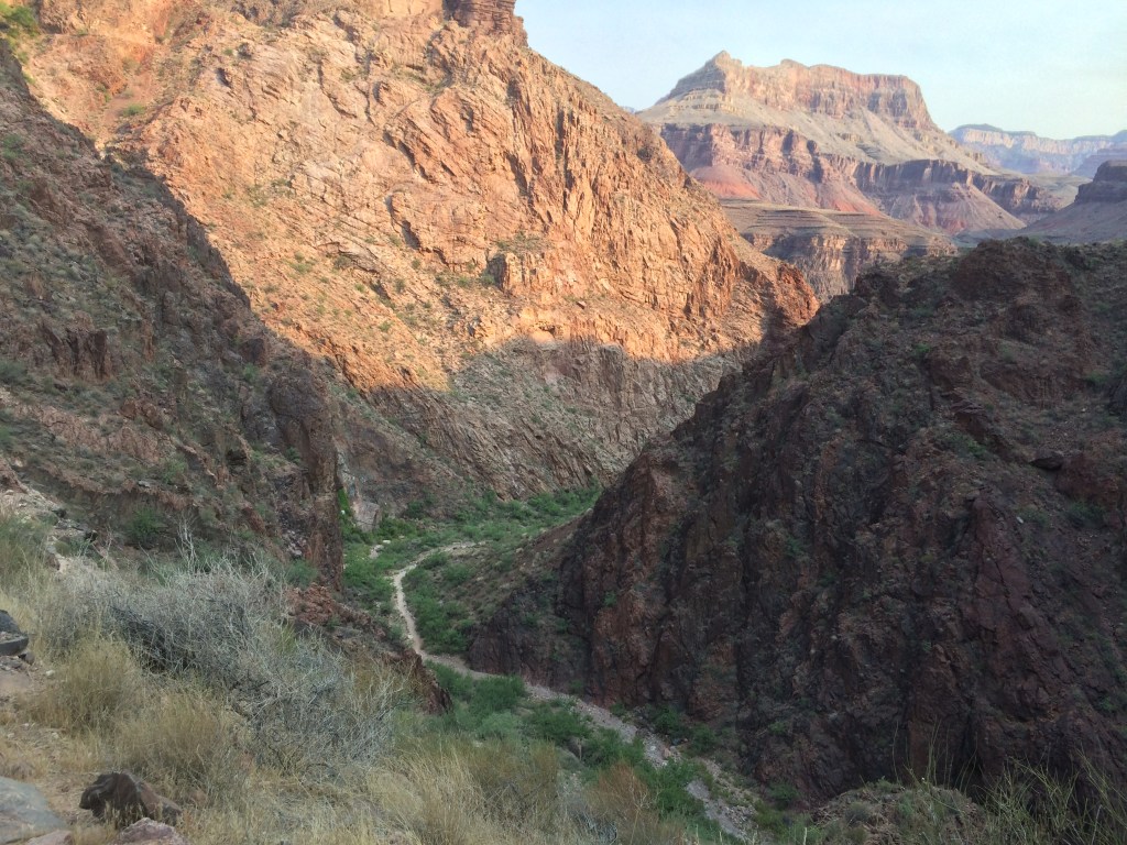
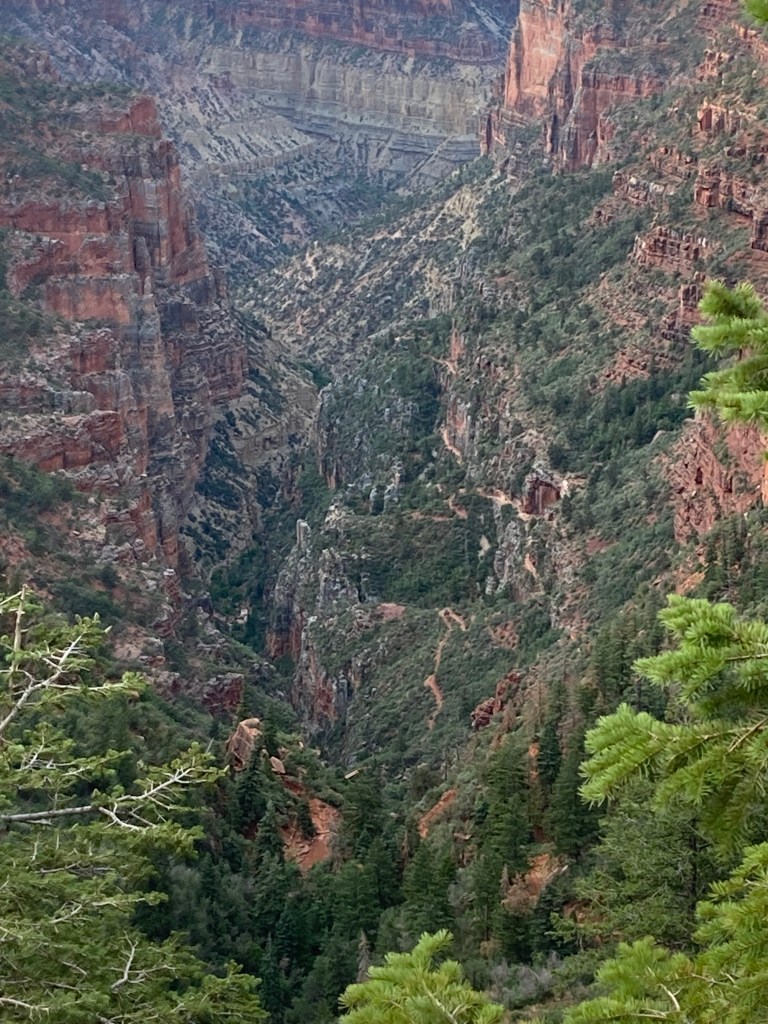
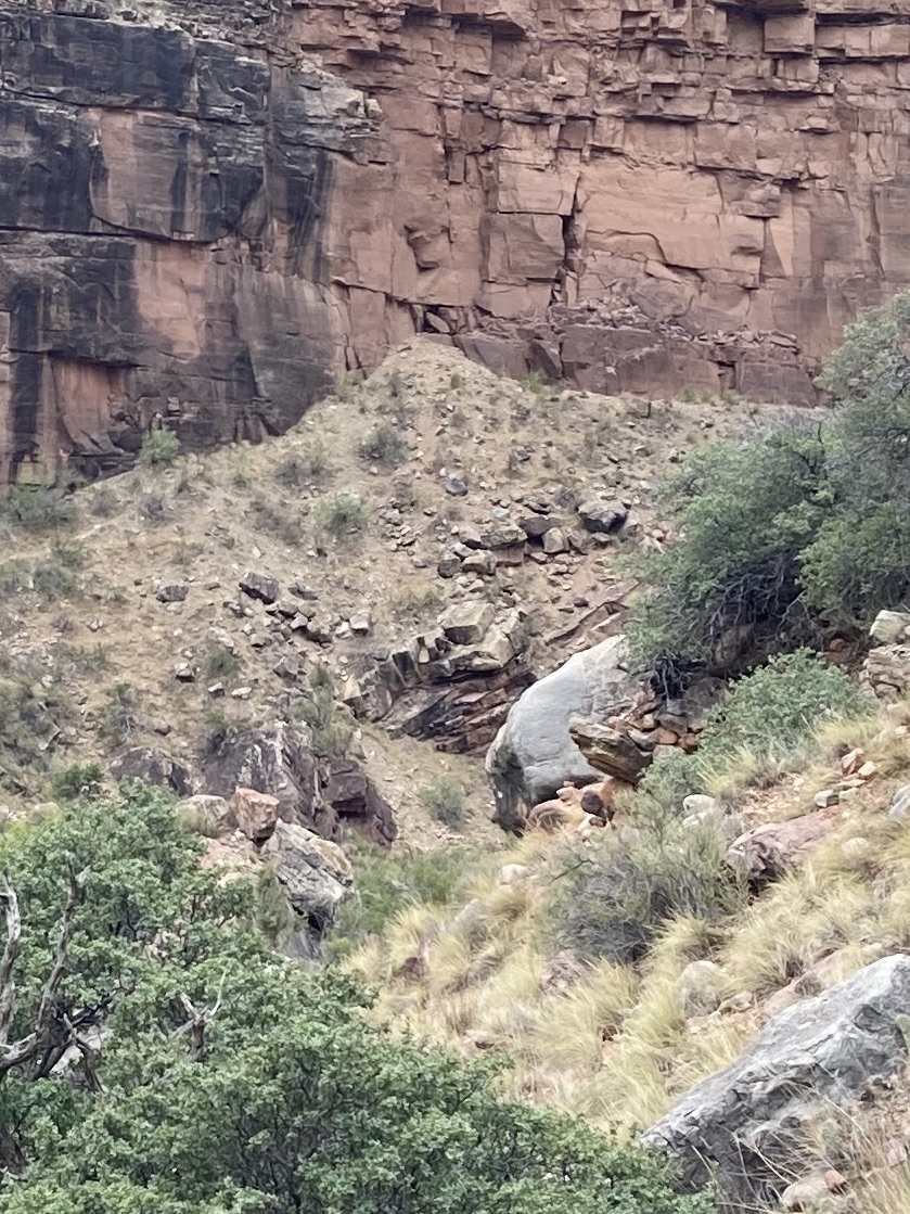
On the ascent of my Rim to Rim, I rounded the trail to Sunblock Rock (my name for it because it’s an obvious place to put on sunscreen) above Devil’s Corkscrew and focused on the task at hand. Somewhere on the trail above me I would cross the Great Unconformity.
The Zoroaster Granite tapered off trailside. Was this it? I hiked up to Tapeats Narrows and followed the trail back down. After a few passes up and down trail, it seemed consistent that the rocks embedded in the trail changed color where the Granite tapered off. A friend I met at camp arrived just in time to get a photo.
When I look at the Canyon, I feel a love for the story keepers of a long journey through time. What a great gift to walk in their midst. As a hiker I want to literally step into the knowledge and interpretations, to try to grasp in one small way a thing so big.
I feel grateful to those who study the canyon, and those who care for it. I’m just a hiker passing through, hoping to offer pieces of my journey to other seekers.
Like a Puzzle


A piece of the puzzle
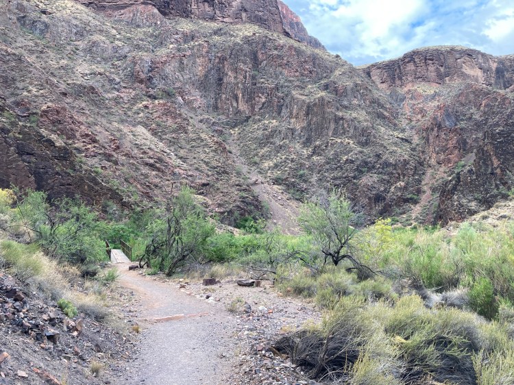
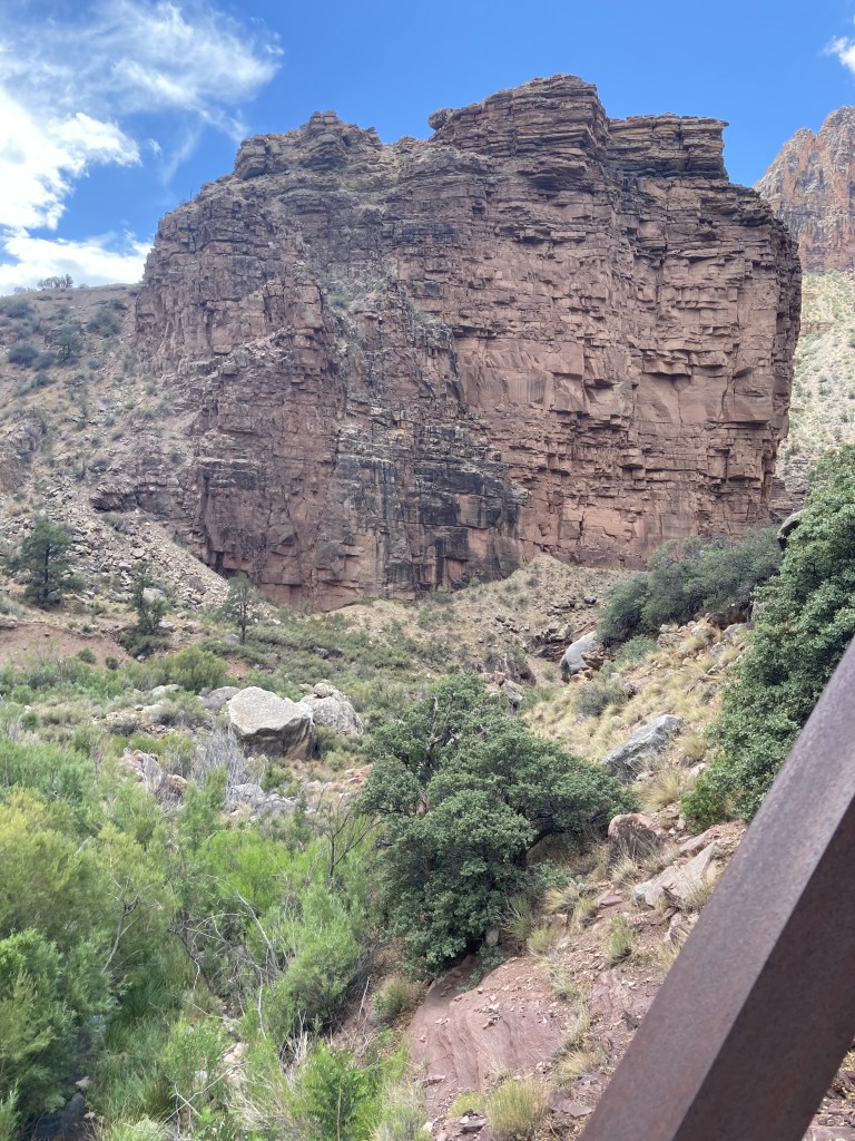
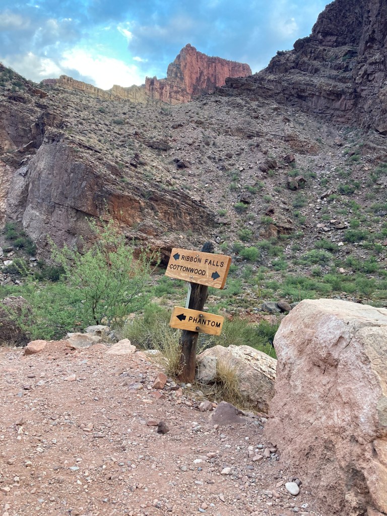
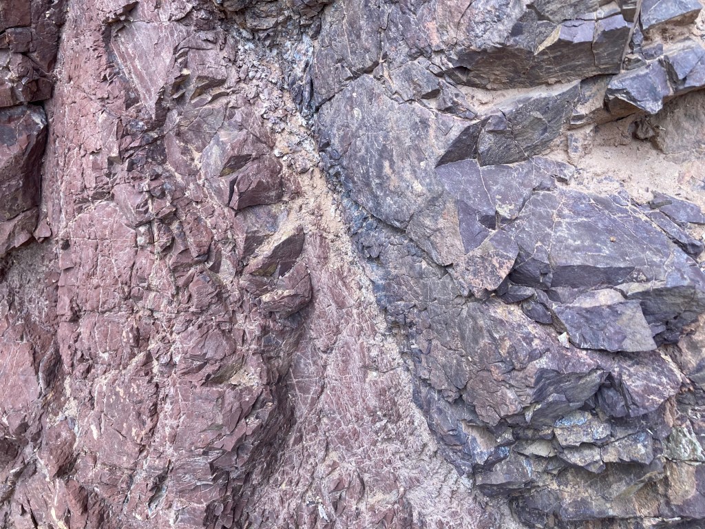
Heading N to S on N Kaibab Tr: The first footbridge is well below the spur trail to Ribbon Falls – a Boardwalk over small swamp. On the other side of the bridge is a dark brown Bass outcropping (left-center). It angles down left to right. In the center of the photo a patch of Zoroaster Granite (Xgr) is visible as a slope. Above the slope is a pink and grey cliff of Rama Schist. Not visible from this angle is contact of Bass and Rama Schist – look for it as you walk past the Bass.
About Me
Hiking and backpacking piqued an interest in geology. I wonder what lies beyond the next bend.
There are places I return to, distinct and new.
Rocks are keepers of time. Their stories are old. I can only speak from my own encounters and learning, somewhere between science and awe.
Intellectual Property
This website contains original work that is intellectual property, which may not be used without permission. This includes, but is not limited to, photos and narrative of my experiences.
Hiker Responsibility
Any information shared from my own experiences does not replace a hiker’s responsibility for their own safety and planning. Rescue is not guaranteed. NPS park websites, Backcountry Offices at Grand Canyon North and South Rim, and Visitor Centers provide important information on trail conditions, water availability, trail courtesy, and permits.
Boots on the Literal Ground – What am I standing in now? [partly done, partly under construction]

Click on the photo above for more content.
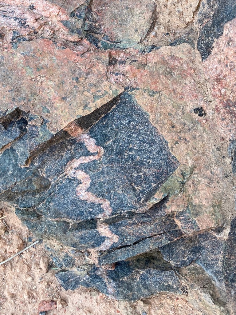
What happens when you ask Y
These Grand Canyon Supergroup rock formations belong to the Unkar Group. The Y indicates the rocks were formed in the Mesoproterozoic era. The members of the Unkar group were formed in a basin, originally horizontally, during the assembly of the supercontinent Rodinia, and then tilted by tectonic forces around 1100 Ma. Yi Unnamed diabase sills…
Useful sources
National Parks Service – visiting, geology, ecology Visitor Centers and Backcountry Information Centers can help onsite with trail conditions, water availability, and weather forecasts. Conditions can quickly change. Rescue is not guaranteed. Plan ahead. Grand Canyon Conservancy US Geological Survey National Geographic Trails Illustrated maps REI has buying guides, videos, and support for choosing gear.…
Some thoughts on hiking and backpacking the Grand Canyon corridor trails
I have done 5 backpacking trips to the river on the Grand Canyon corridor trails and always in the heat (May-September). Everyone is different in how they prepare and their priorities, and there is no right way. Here are some things I have found helpful: Stairs and more stairs. Trails and more trails. Gradual training…
