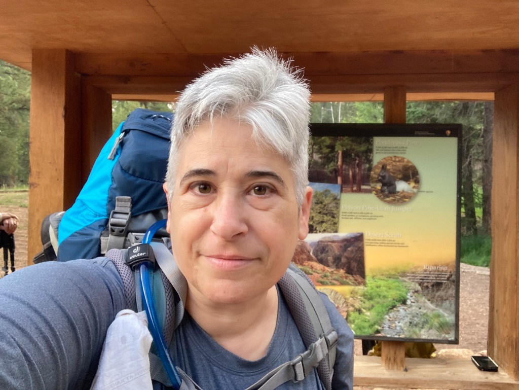
July 14, 2022 – The rain pelted my tent until 1 AM. My watch quietly beeped at 3 AM. The rain had stopped a couple of hours earlier. I felt around and found that my tent was dry inside. Cold water droplets touched my hand as I unzipped the tent fly. My thoughts formed slowly. The restroom had a hand dryer. I set the soaking fly and tarp on the picnic table at my campsite and tossed the dry gear into the car. I had carefully loaded my backpack the day before. The hand dryer was ineffective and cost me valuable time but left me with a good lesson early in my trip — from now on I would just tie the wet stuff to the outside of the backpack and hit the trail by 4:30 AM.
In the dim light of the trailhead parking lot, I could just make out two backpackers whose feet were sticking out of the back of their car. Their gear was unceremoniously deposited on the ground. They probably arrived by foot to the rim late at night. I tried to not disturb them, but zippers are loud. They roused and fell back asleep. I moved farther away and flew the tarp and tent fly in the wind. They were still damp when I tied them down.
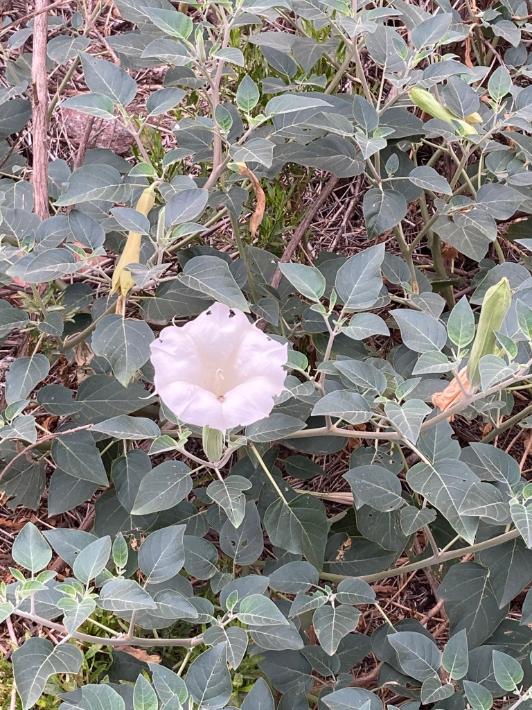
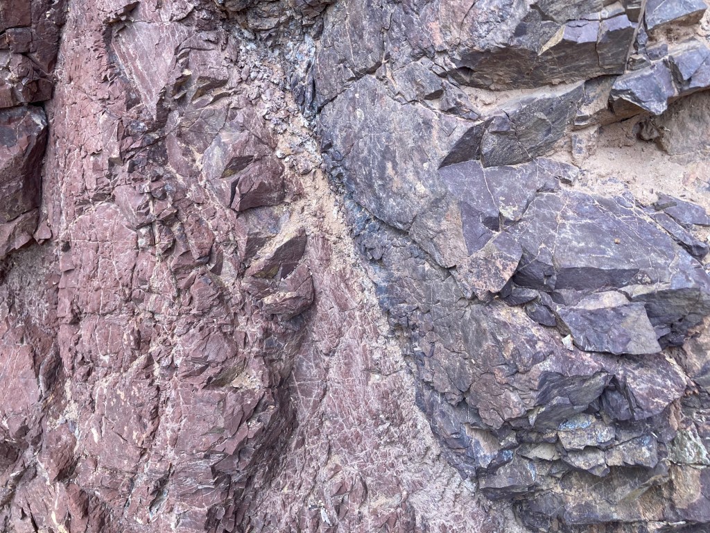
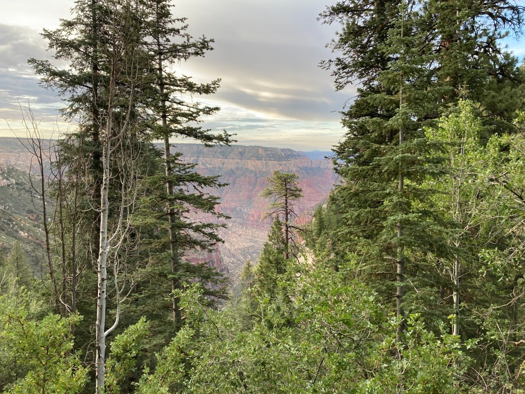
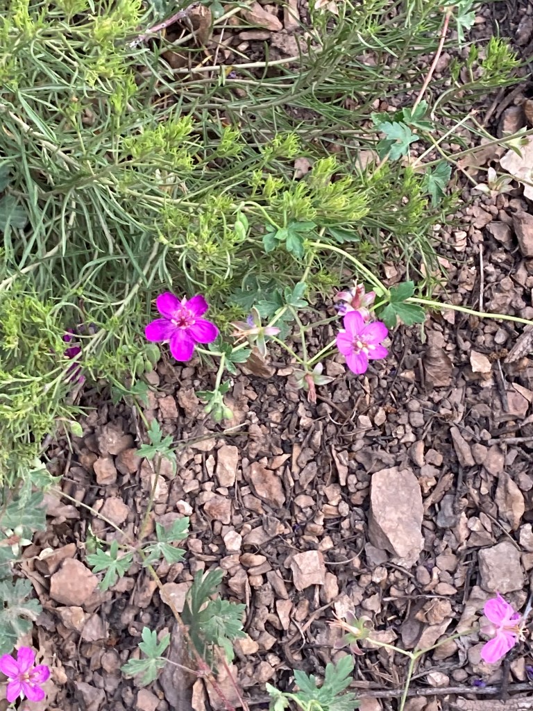
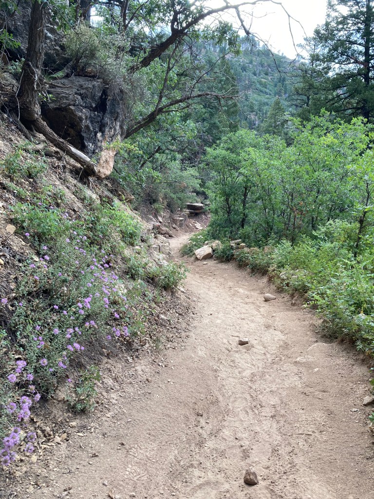
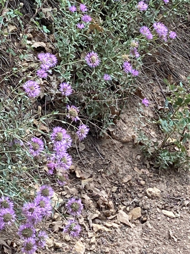
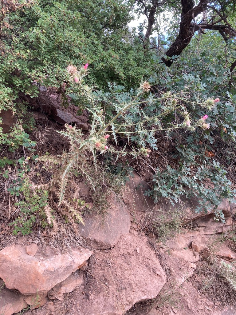
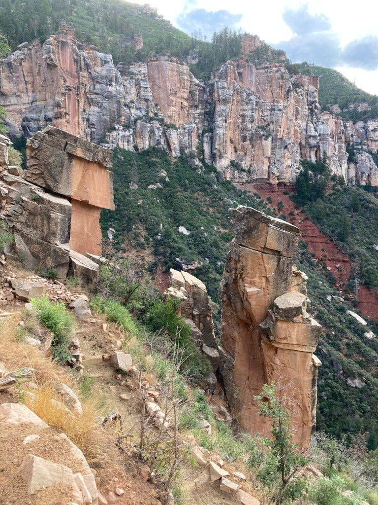
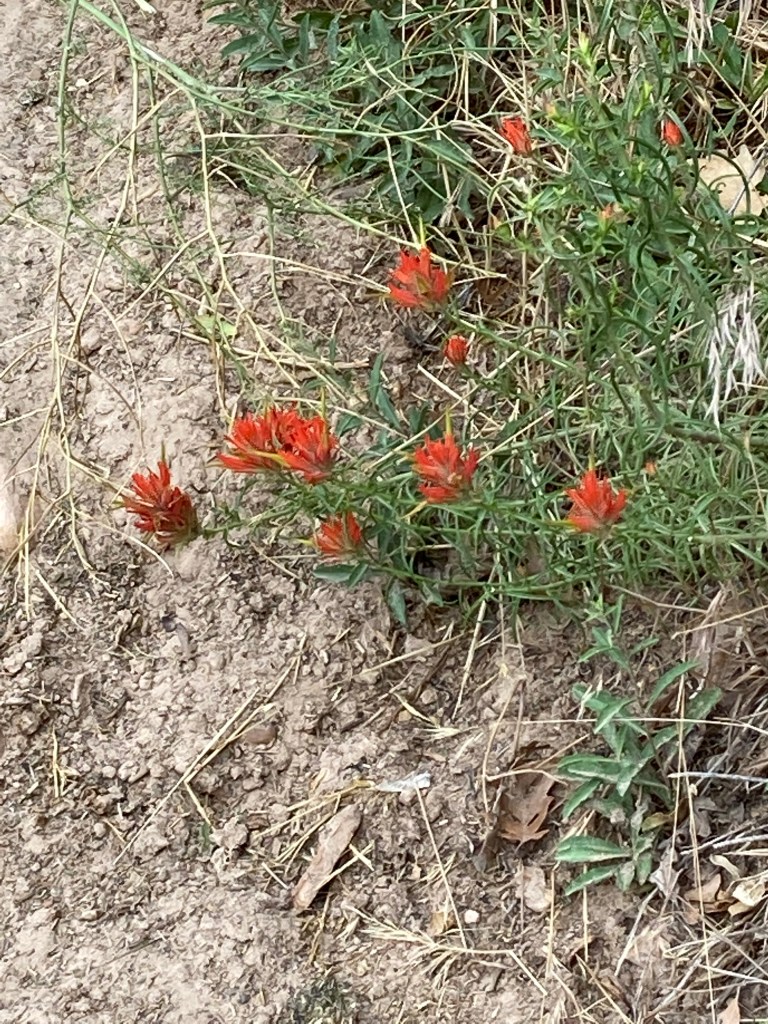
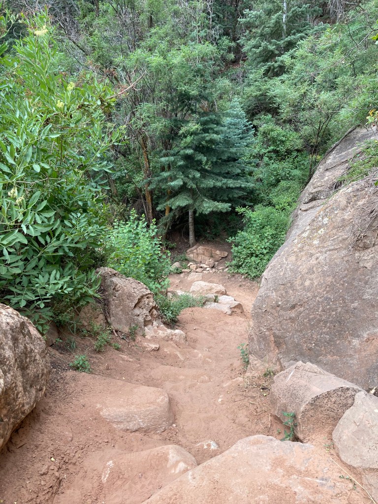
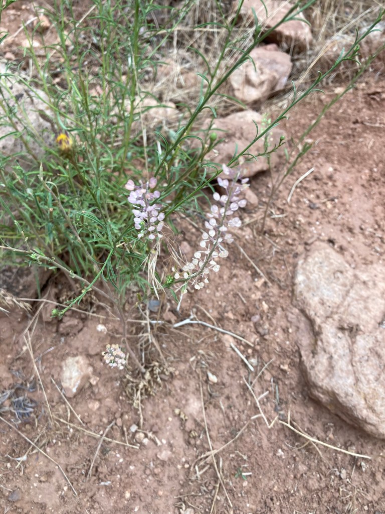
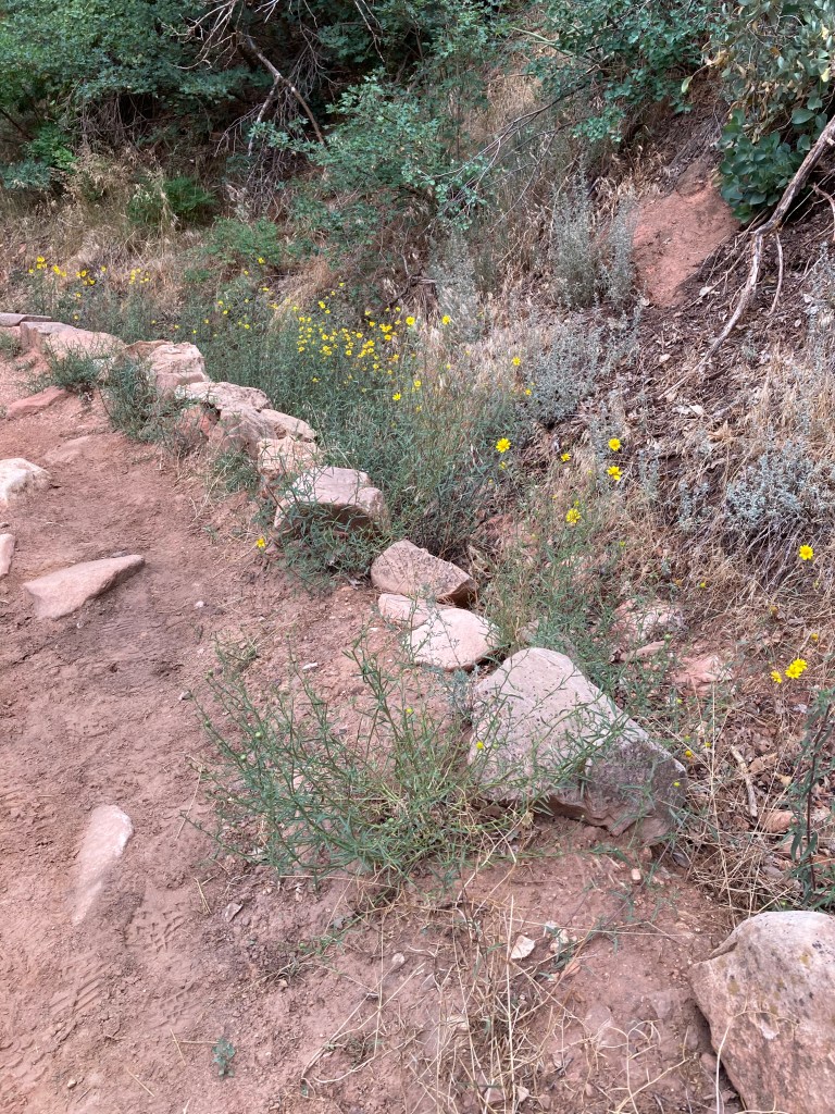
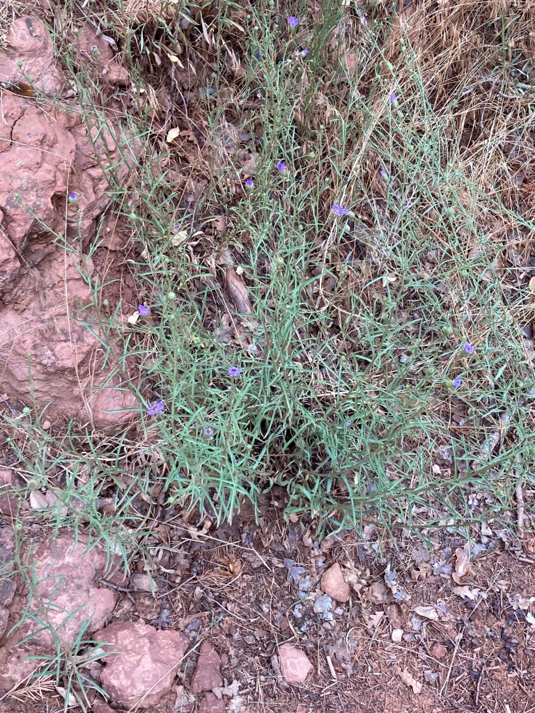
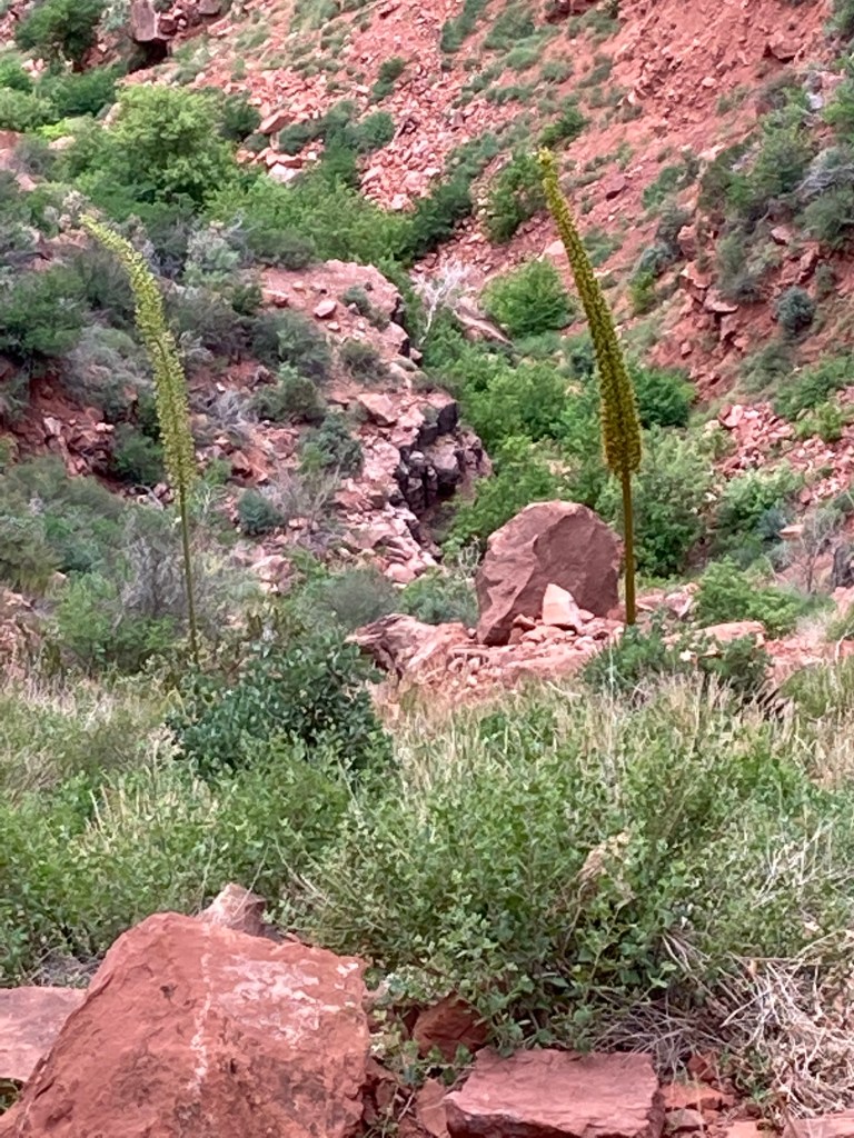
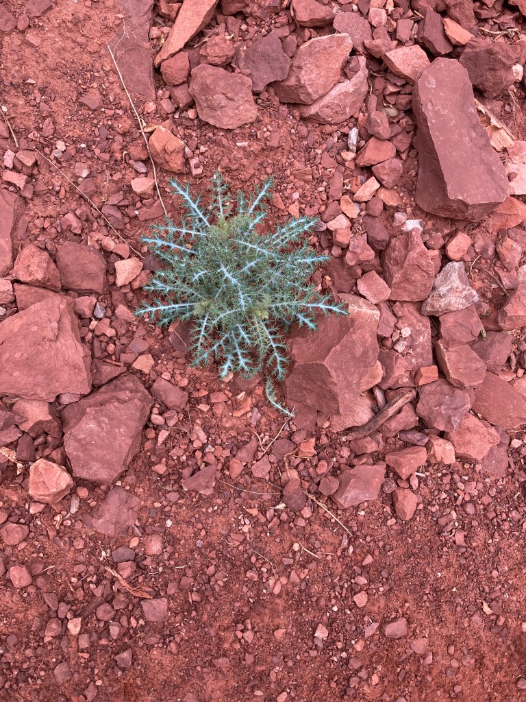
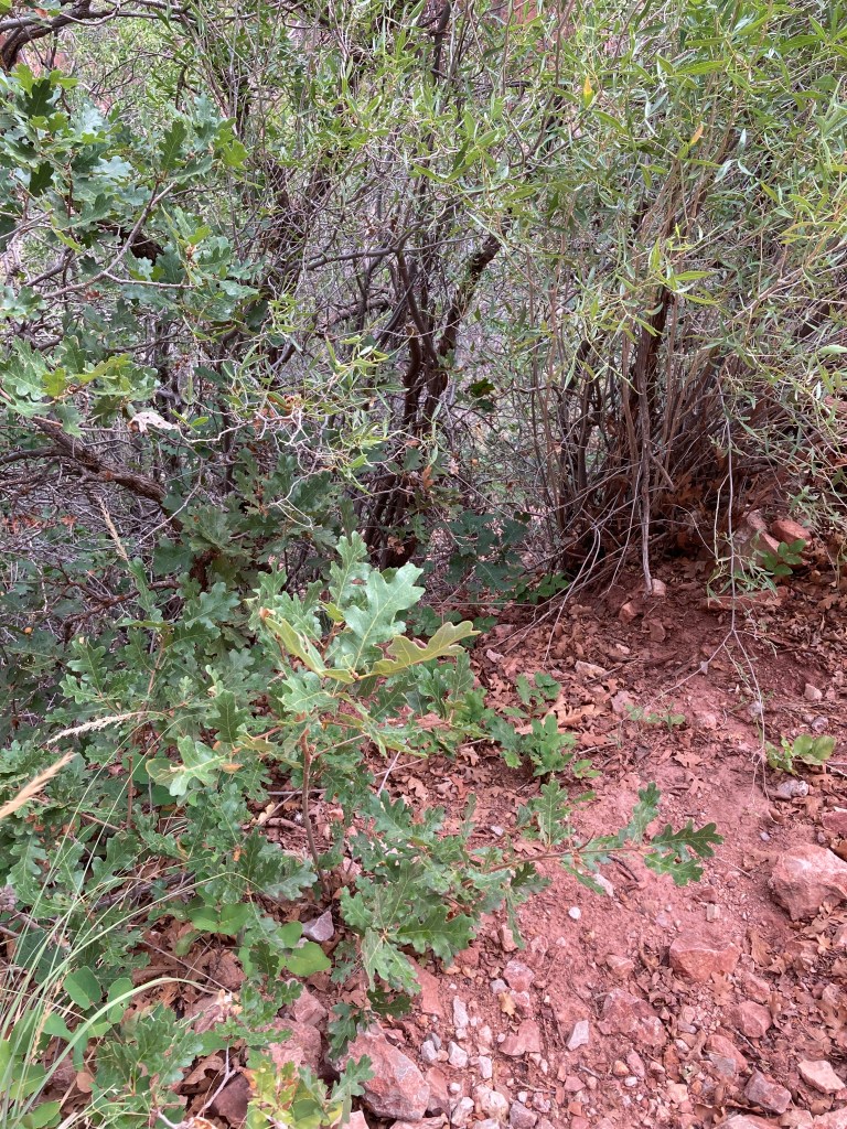
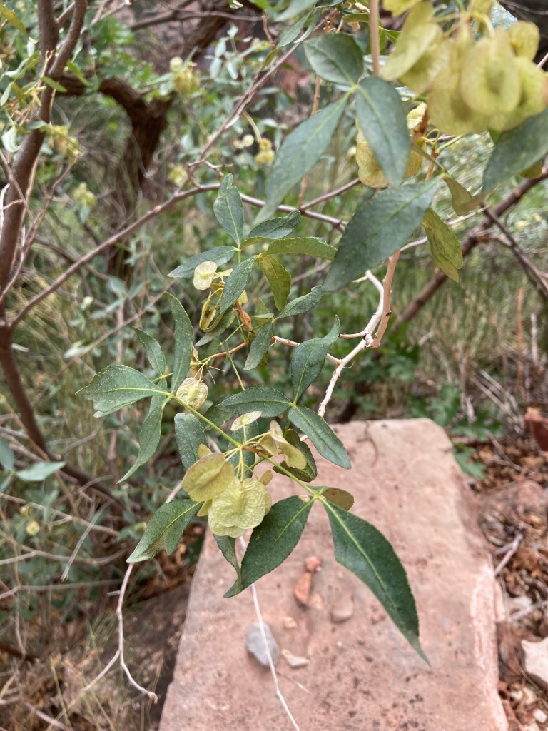
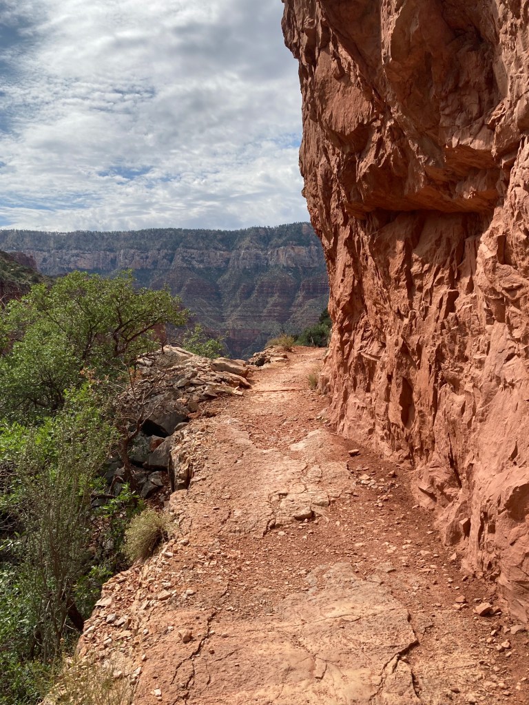
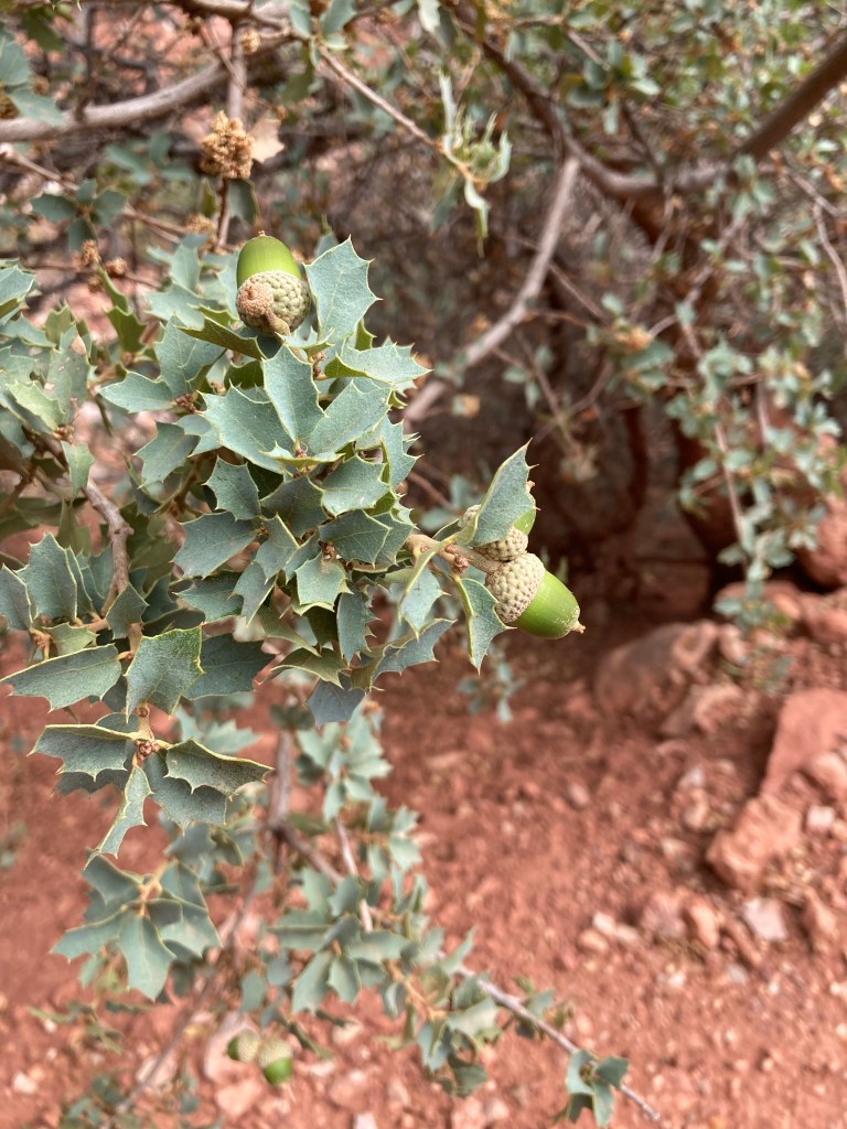
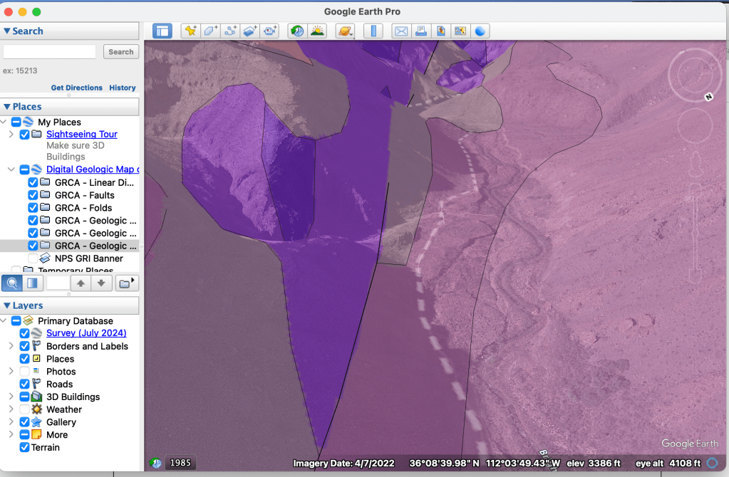
I started down in the chill of the new day, delighting in wildflowers, pausing to record birdsong. I lingered where the ground changed color, looking for clues in shrubs, folds, and erosion. I wanted to see for myself the changes in geology and ecology. I had never before been so excited by sand. But sand is time.
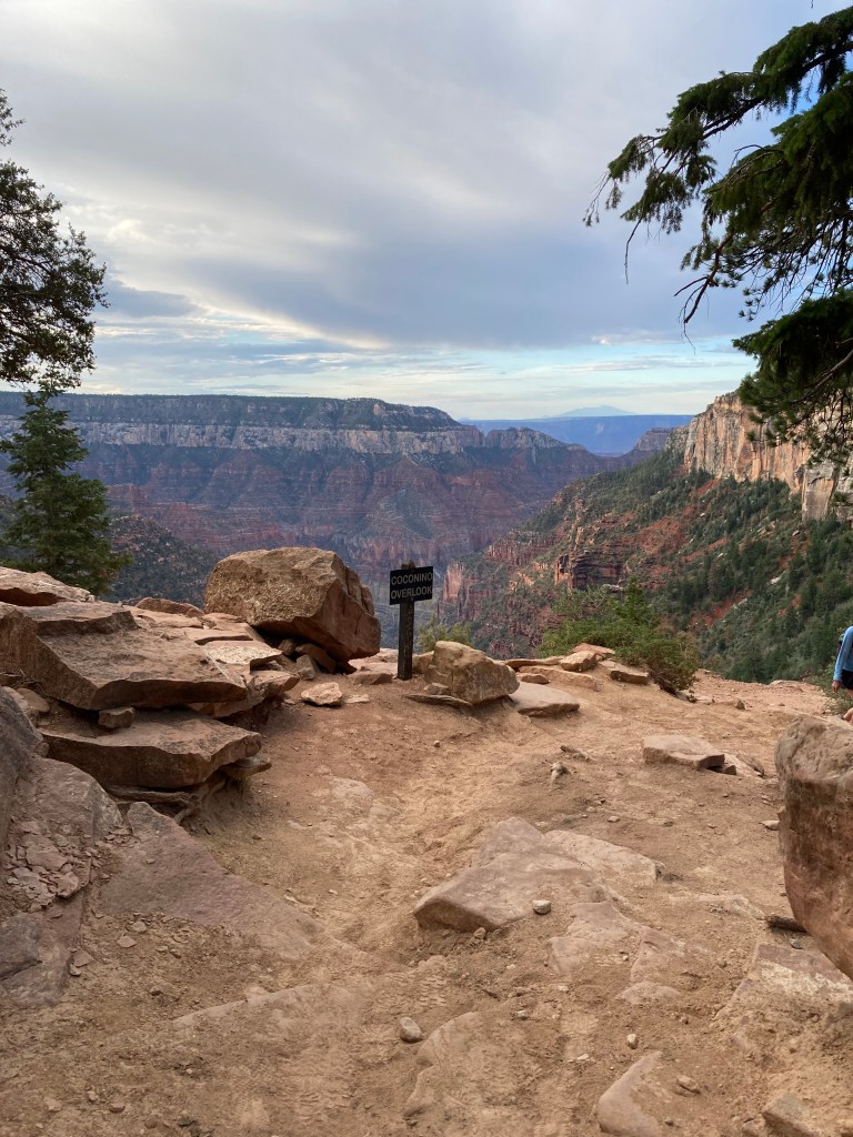
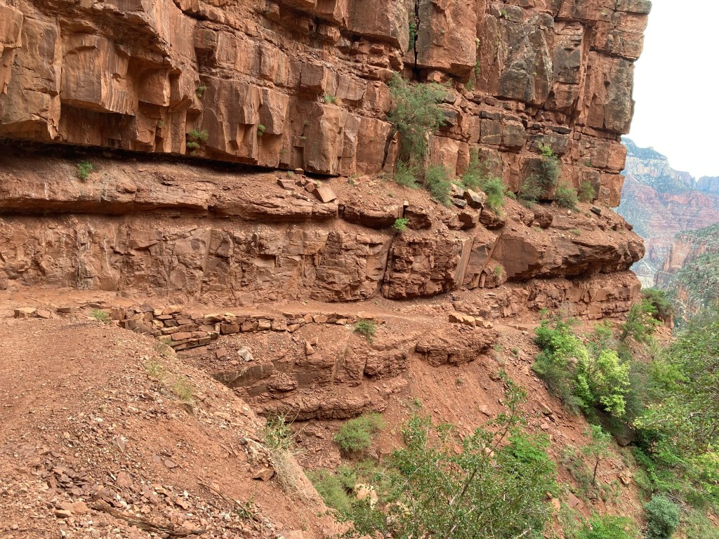
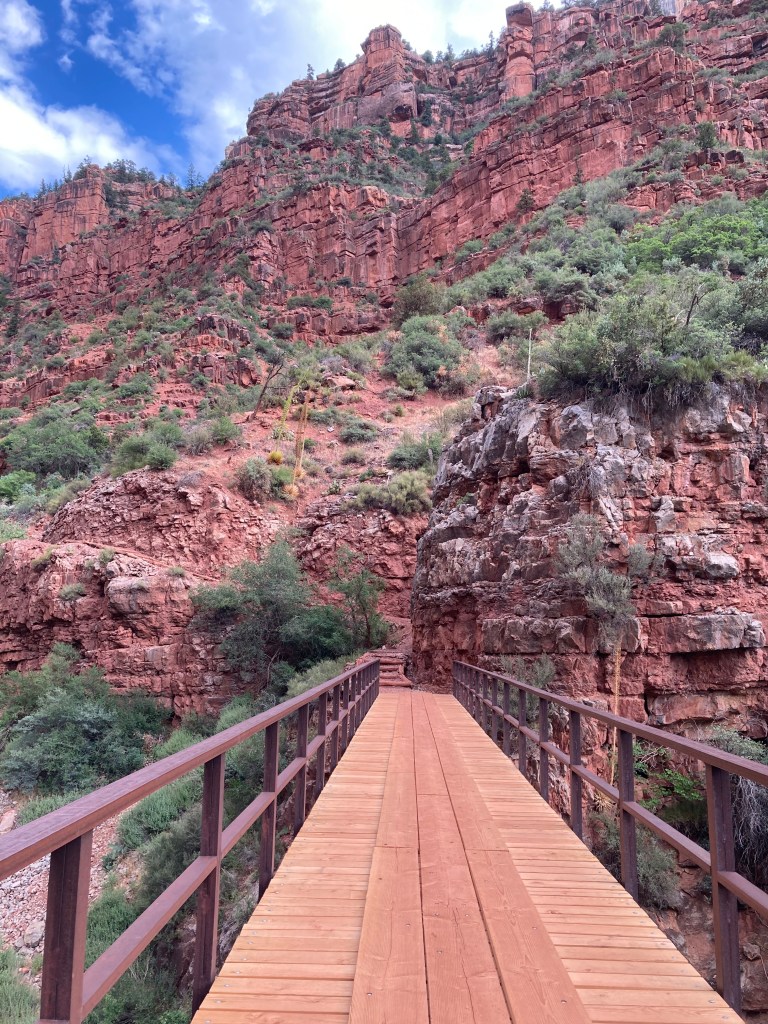
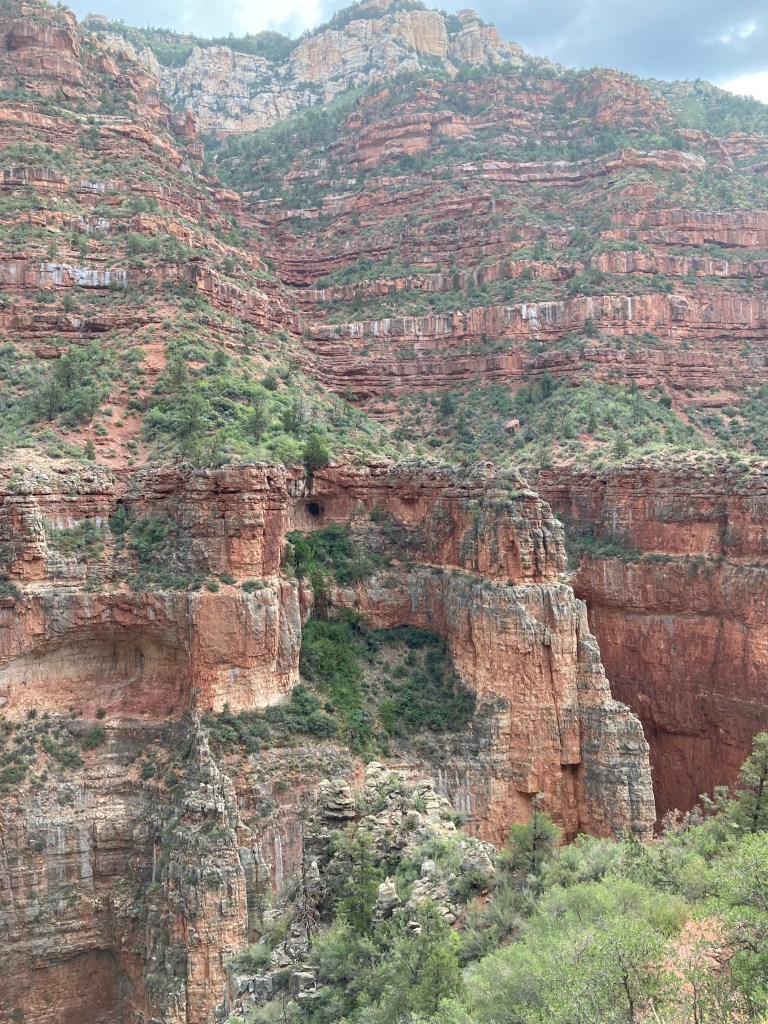
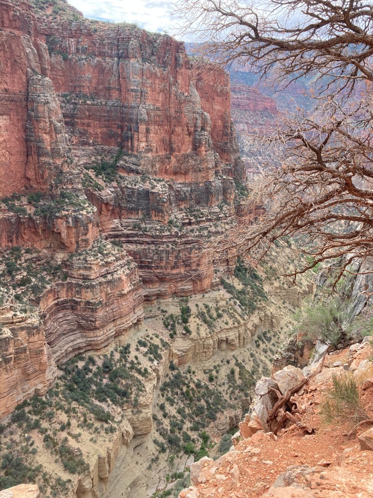
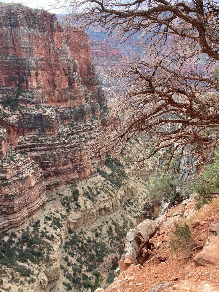
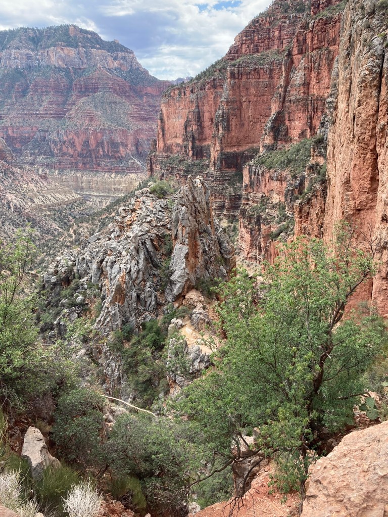
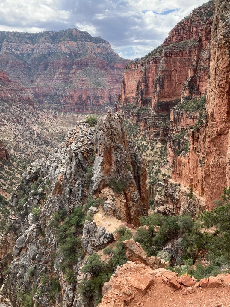
I paused at Coconino Overlook. Redwall bridge was tiny.
THIS SECTION IS STILL UNDER CONSTRUCTION
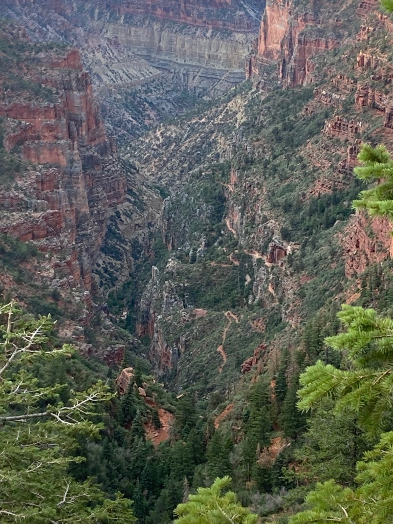
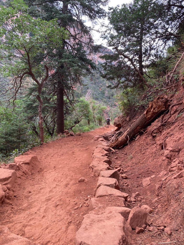
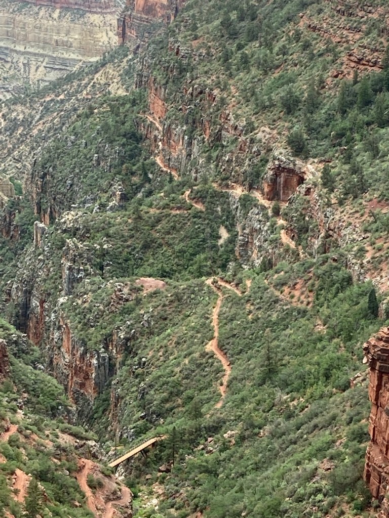
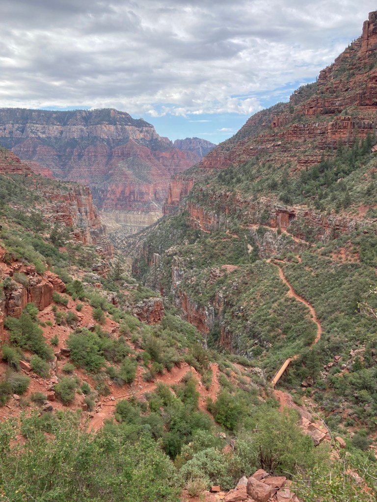
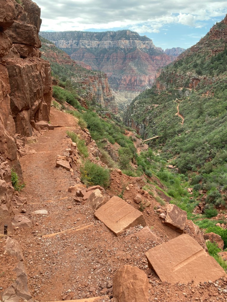
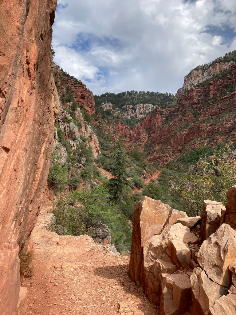
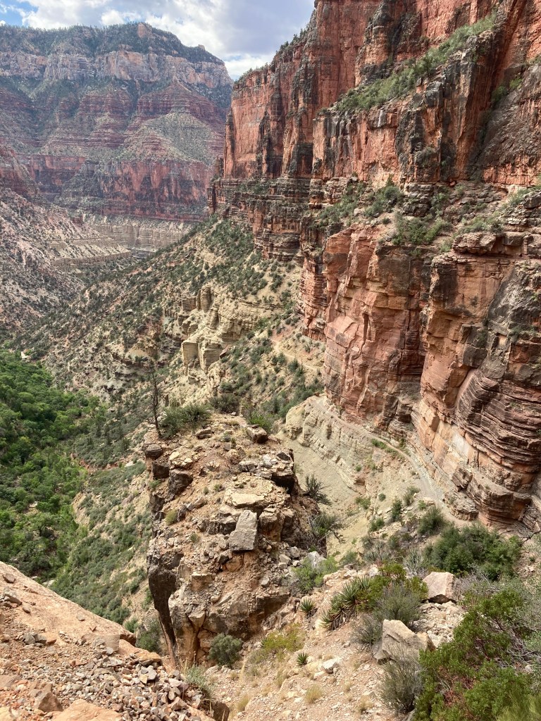
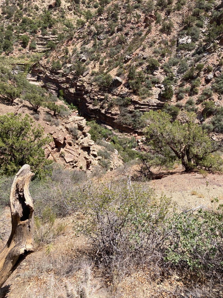
The North Kaibab trailhead starts at elevation 8241 ft in a forest of White fir, Douglas fir, Ponderosa pine, and Quaking aspen with occasional glimpses of the canyon. The trail descends Roaring Springs Canyon for 4.7 miles with an average grade of 13.2%, including some short steep sections up to 25%. It passes through about 255 million years in geological time before turning right into Bright Angel Canyon.
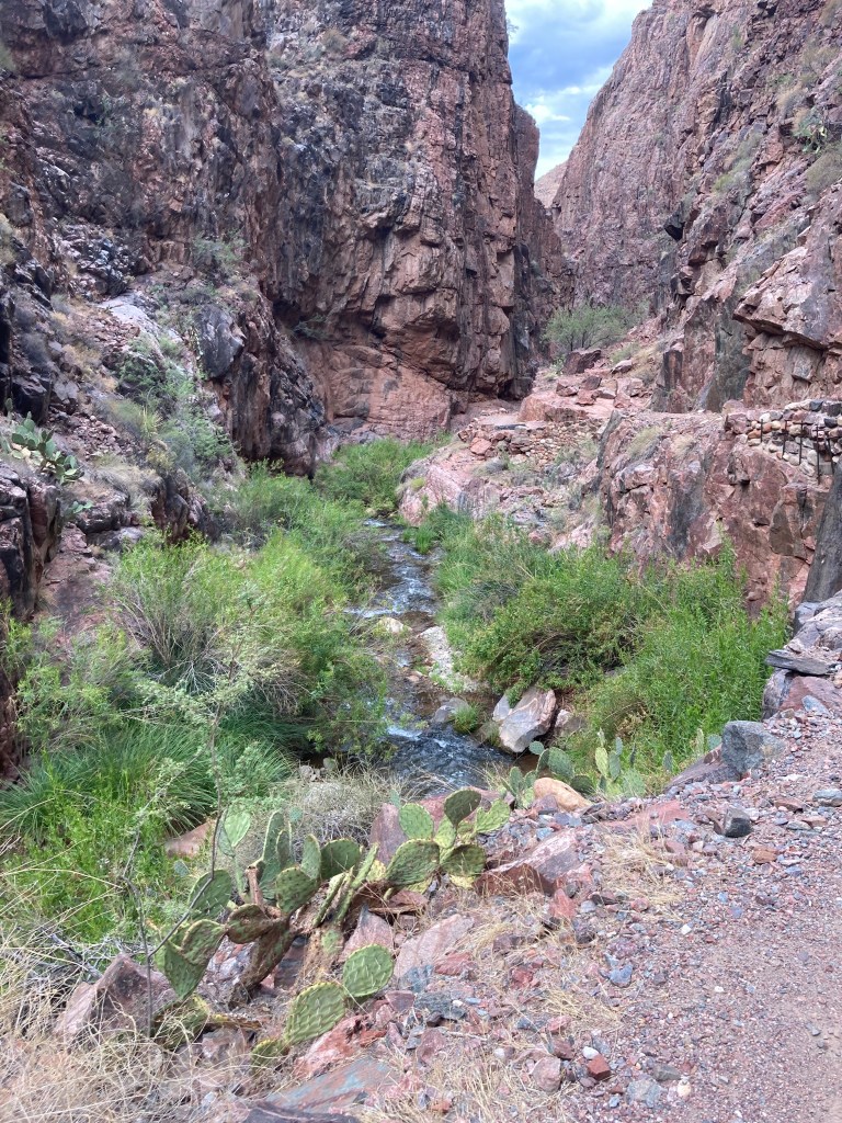
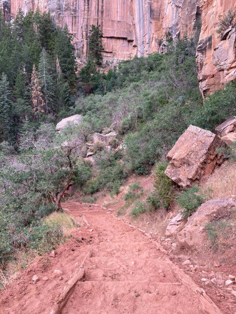
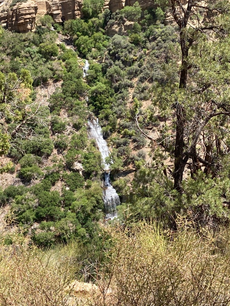
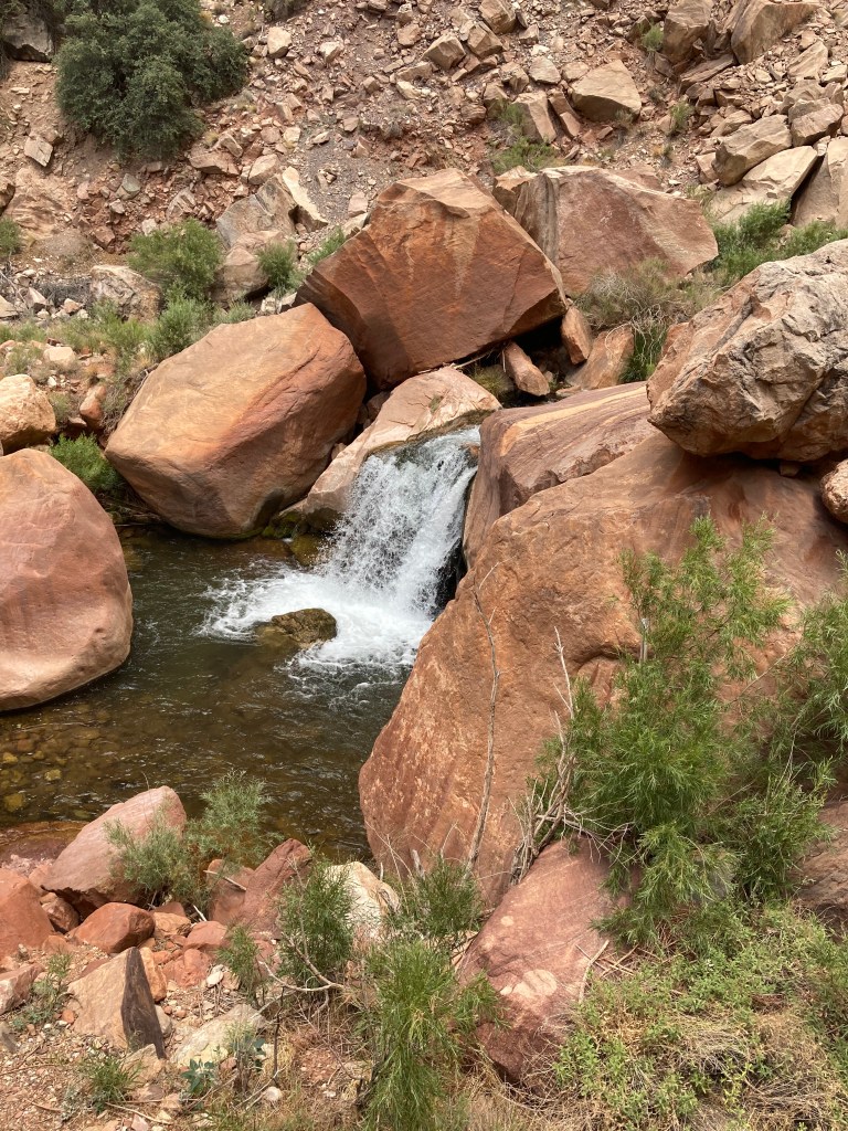
Bright Angel Creek greets the trail, bringing with it the delightful play of bright green plants, small waterfalls, and the sounds of the fast moving water. A chaotic rubble replaces the orderly layers. A helipad at Manzanita comes into view, a welcome site for weary hikers. A rest area at Manzanita provides shade, tables, composting toilets, water, and creek access. The trail is now mostly a low grade under 5% to the bottom of the canyon.
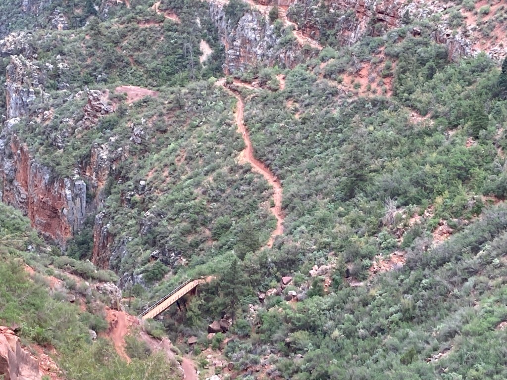
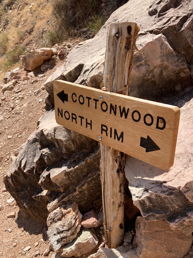
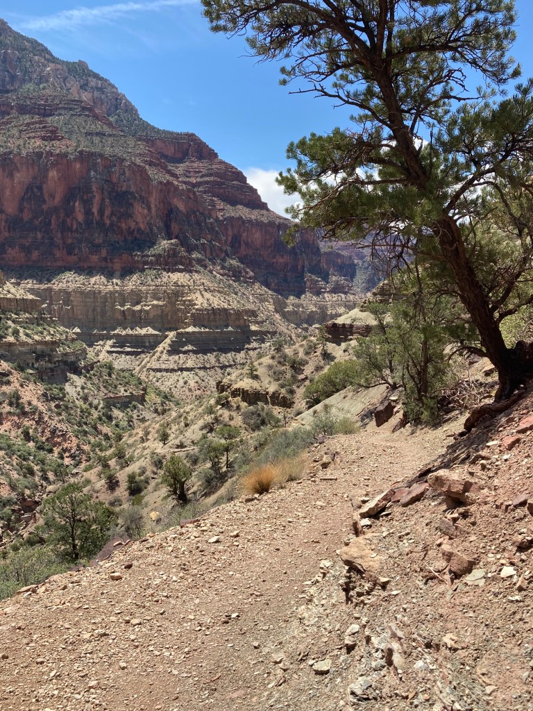
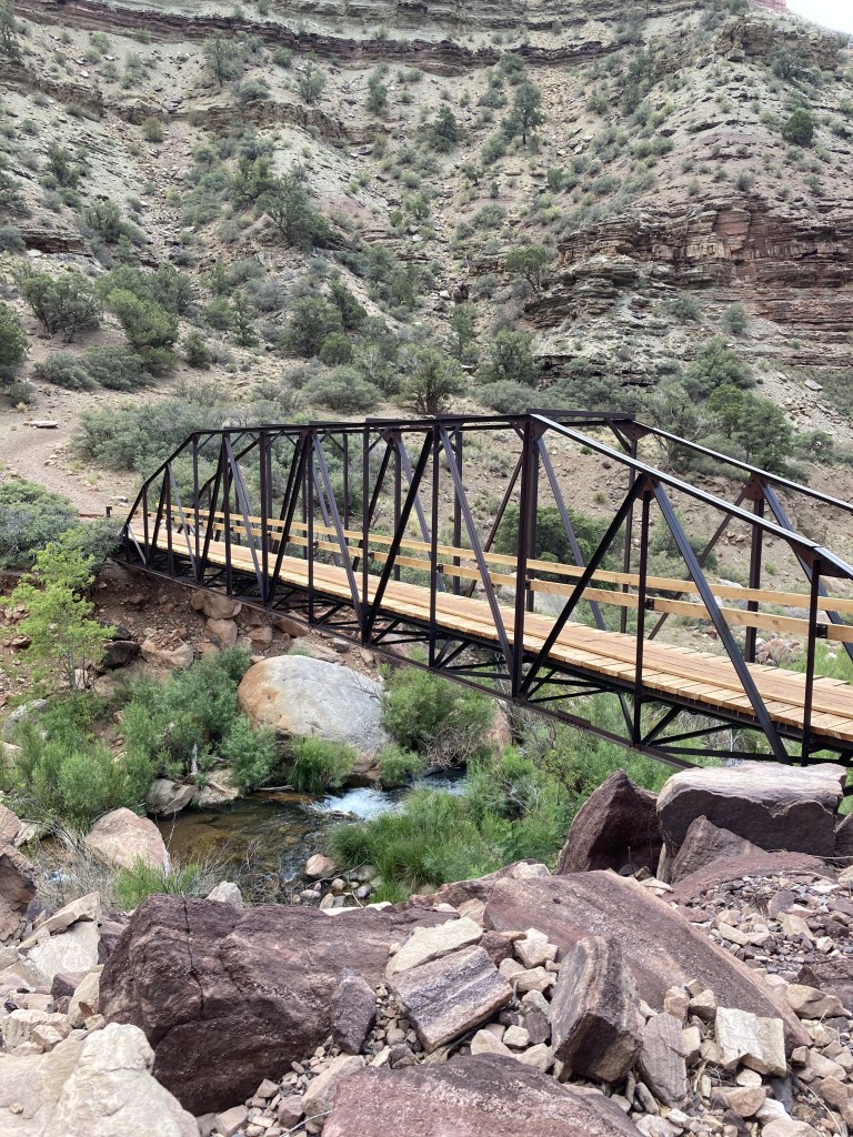
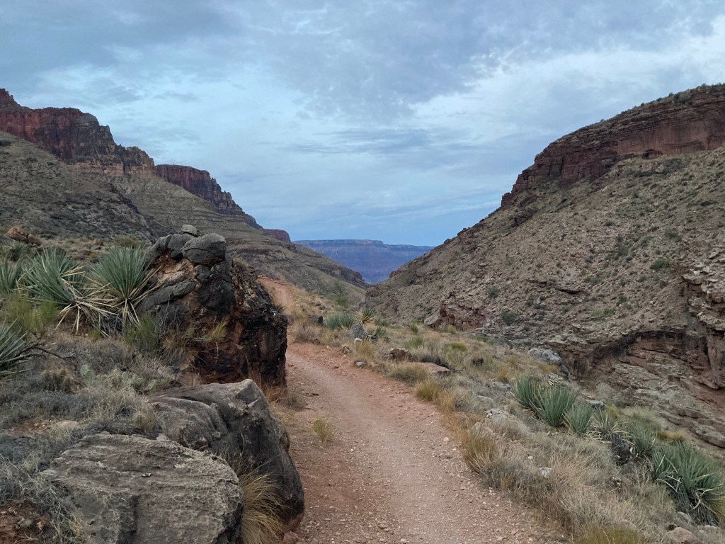
Below the confluence of BA Creek and Manzanita Creek, a footbridge crosses Bright Angel Creek. After crossing the footbridge the trail turns right. The Dox is exposed just ahead along the sides of the creek, lying low at an angle, easy to miss amidst the creek’s greenery and tall brown cliffs of Tapeats Sandstone. In the big left turn ahead the trail enters fully into Dox, descending gently to Cottonwood Campground with distant views of the South Rim.
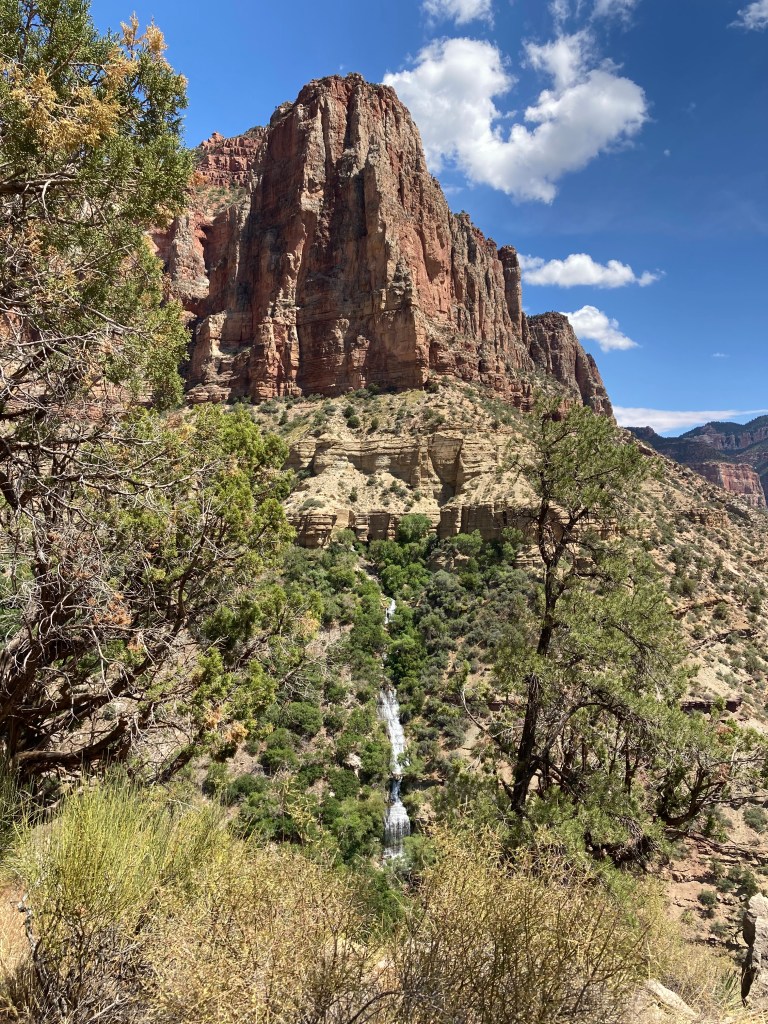
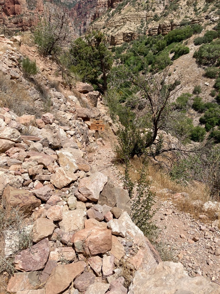
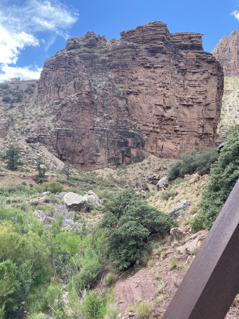
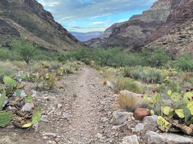
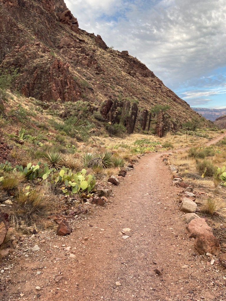
Below Cottonwood, Wall Creek has cut a path where it flows into BA Creek. The brown Dox fades into the underlying Shinumo, lighter in color. Opposite Ribbon Falls sits a hill of landslide deposits, the trail ascends the hill and then drops into the Hakatai. In the distance a group of vertical rocks stand like sentries. The Bass formation is trailside on the left (east). Farther along a footbridge crosses the BA creek. The trail narrows through The Box, now fully in the Rama Schist and Zoroaster Granite (Xgr). The Box opens up and soon a small wooden sign for Phantom Ranch 3/4 mile appears.


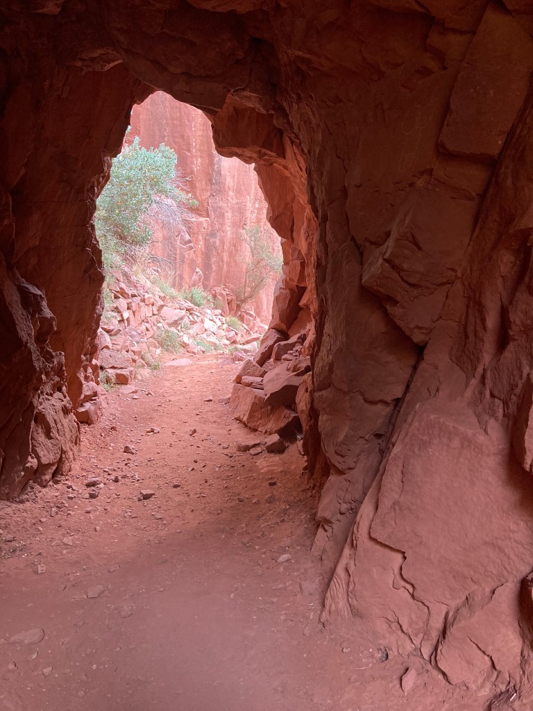
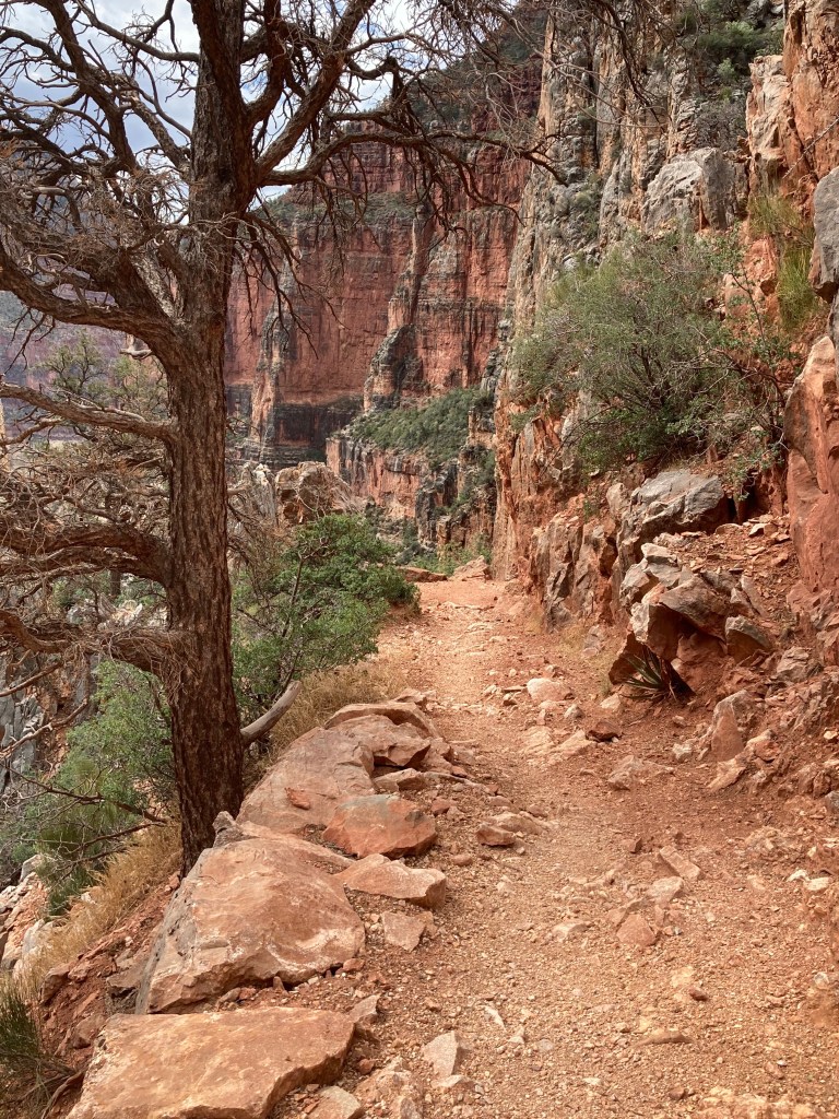
Supai Tunnel to Redwall Bridge: Hiking through the Supai Formation
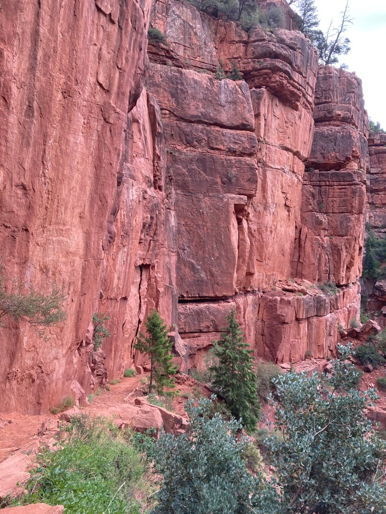
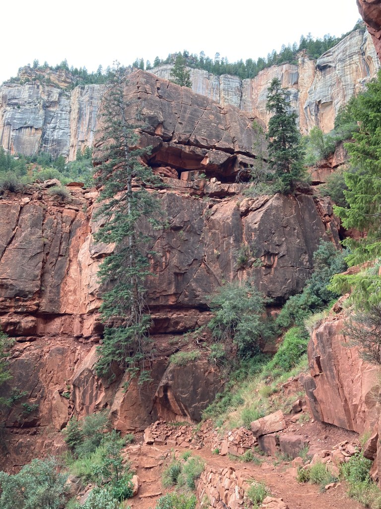
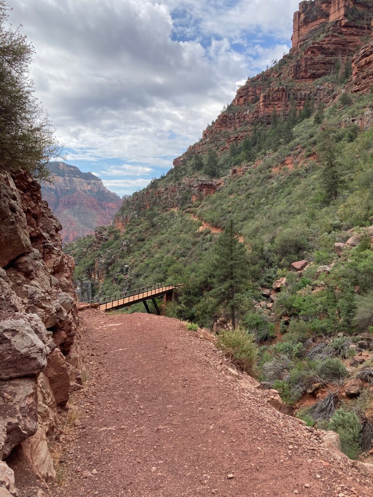
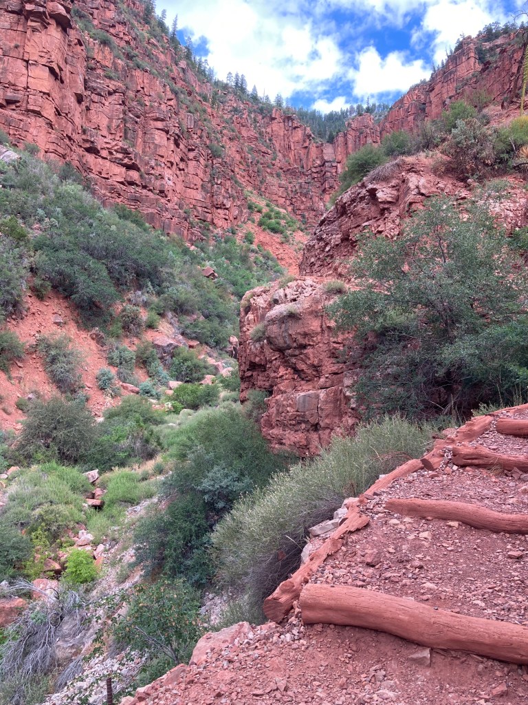

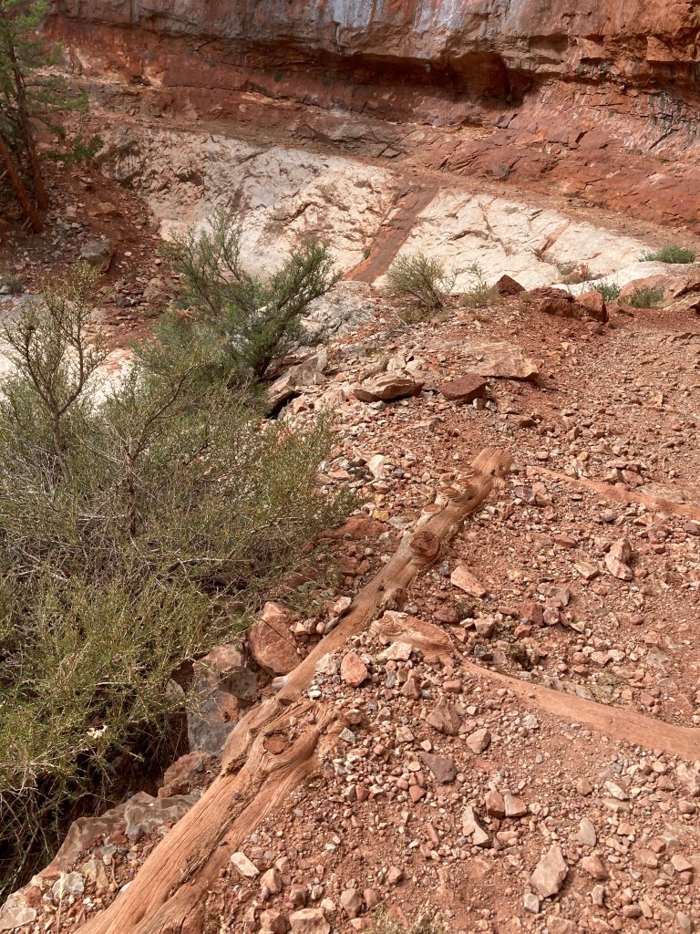
Hiking through the Redwall Limestone

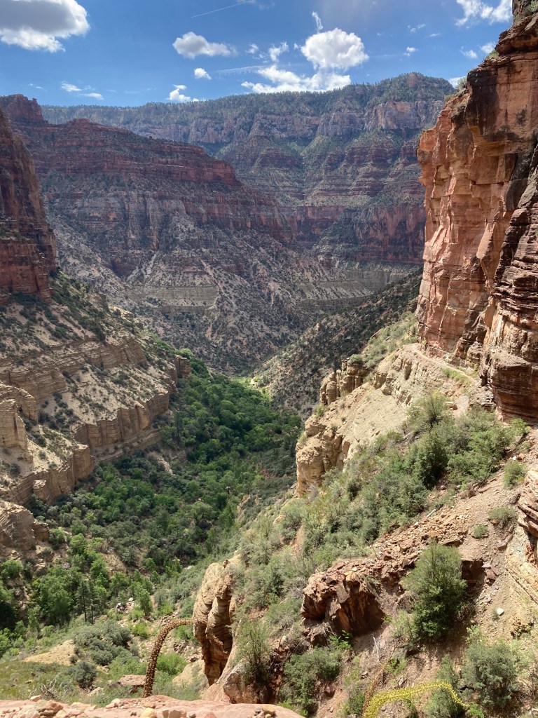
Lower Roaring Springs Canyon: Muav, Bright Angel Shale, and Tapeats
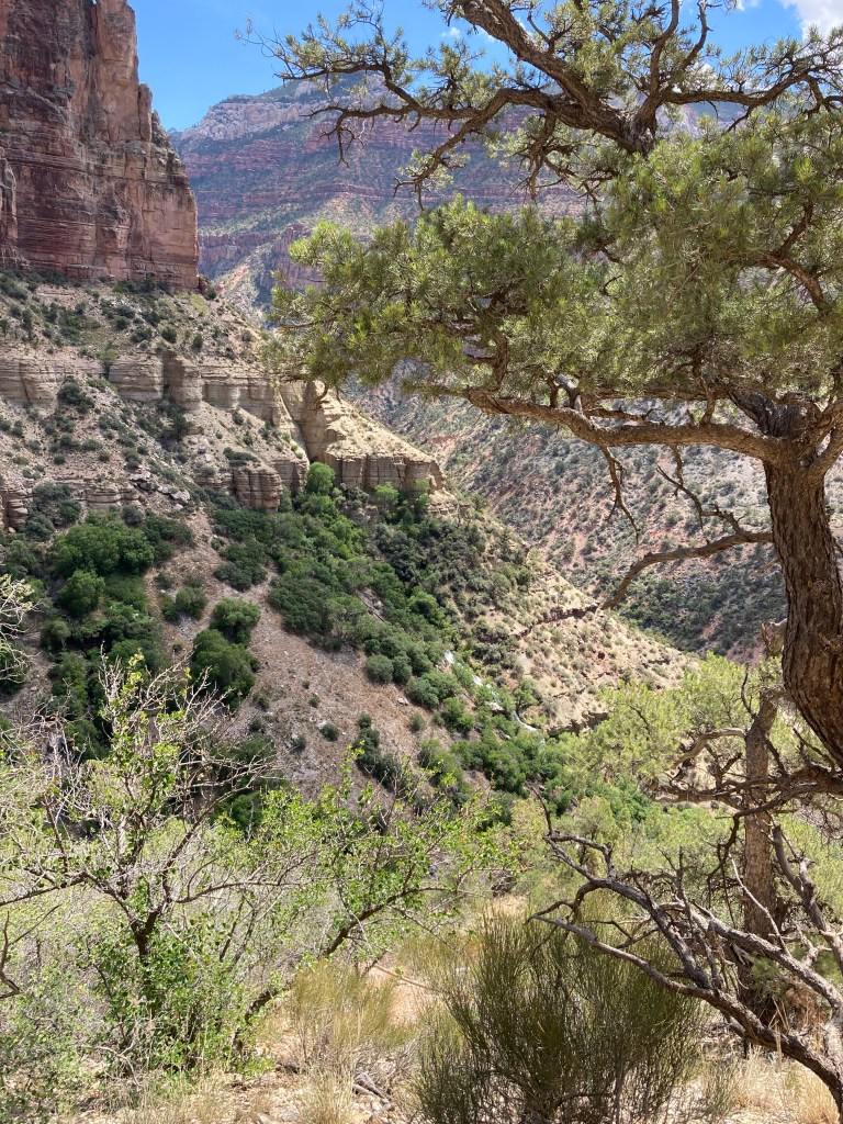
Manzanita Rest Area to Cottonwood Campground: Tapeats to Dox

Cottonwood to The Box
The Box