[ongoing development]
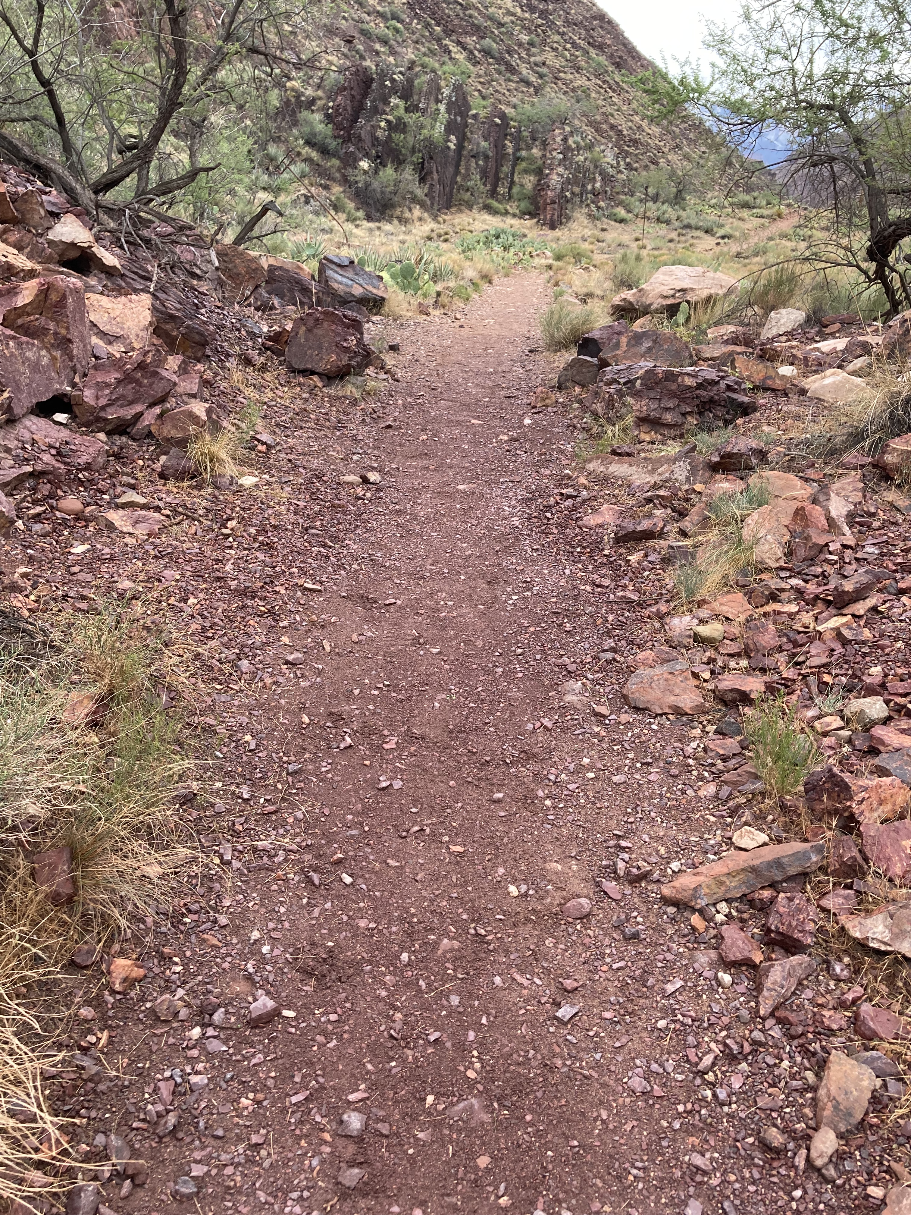
Bright Angel (BA) Trail – Descending
Kaibab Formation 270 - Upper Tunnel, mostly cliff – appears white from a distance, light beige
Toroweap Formation 275 – more slope than cliff, ends at Lower Tunnel, beige/brown
Coconino Sandstone 280 – Lower Tunnel, down several short switchbacks, white/tan sheer cliff
Hermit Formation 285 – reddish-brown slope below the Coconino cliff, 1.5 Mile Resthouse
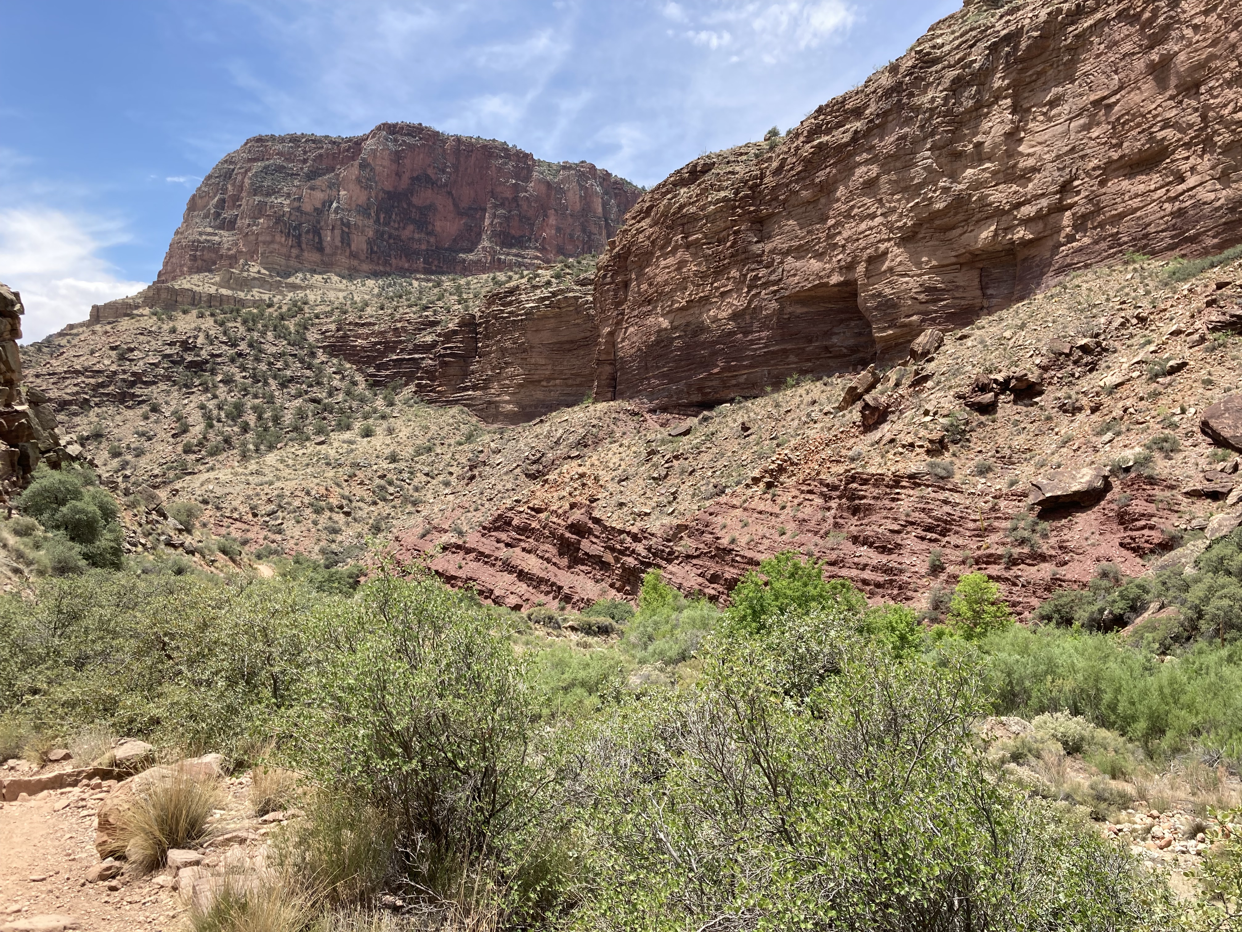
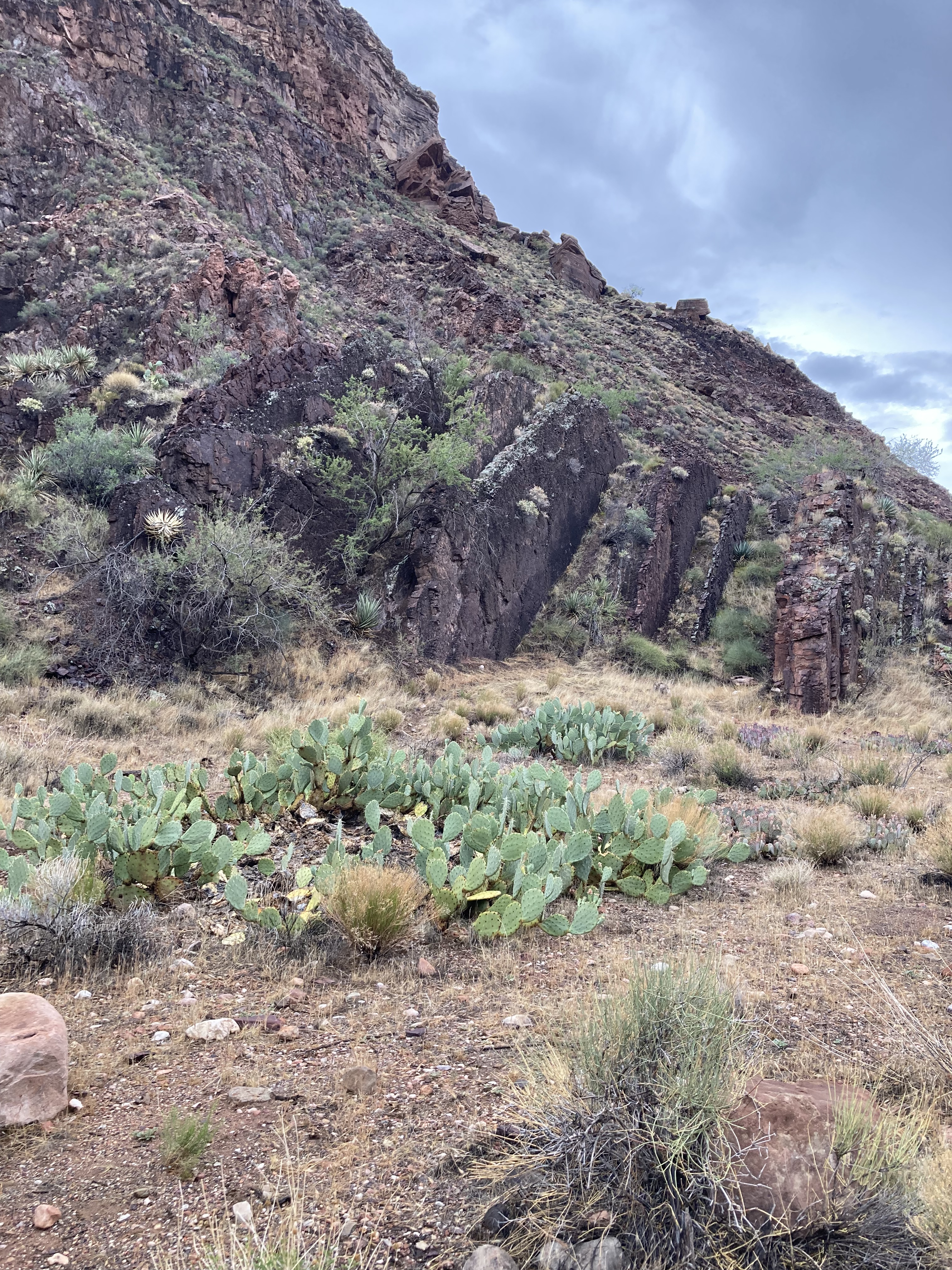
Supai Group 290-320 – Below 1.5 mile Rest House – Esplanade cliff starts in the traverse heading west, then more slopes than cliffs – reddish brown
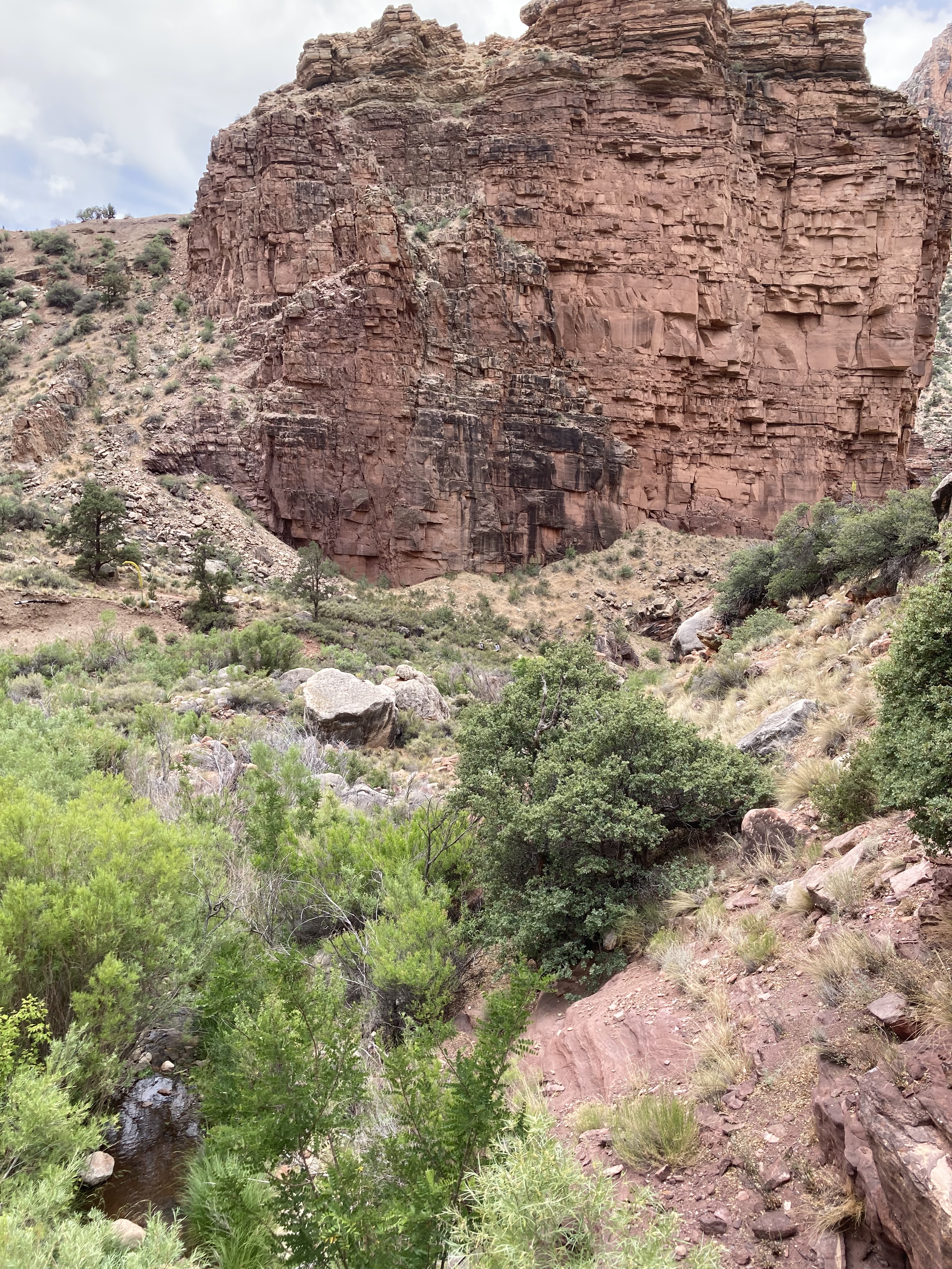
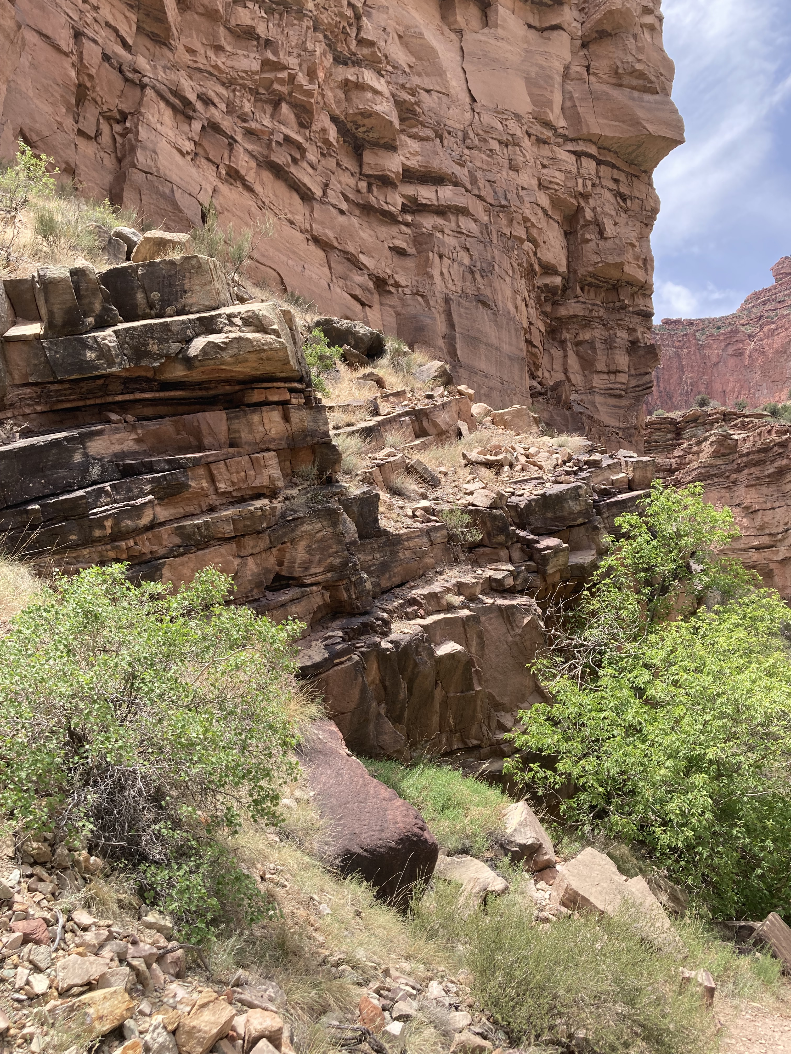
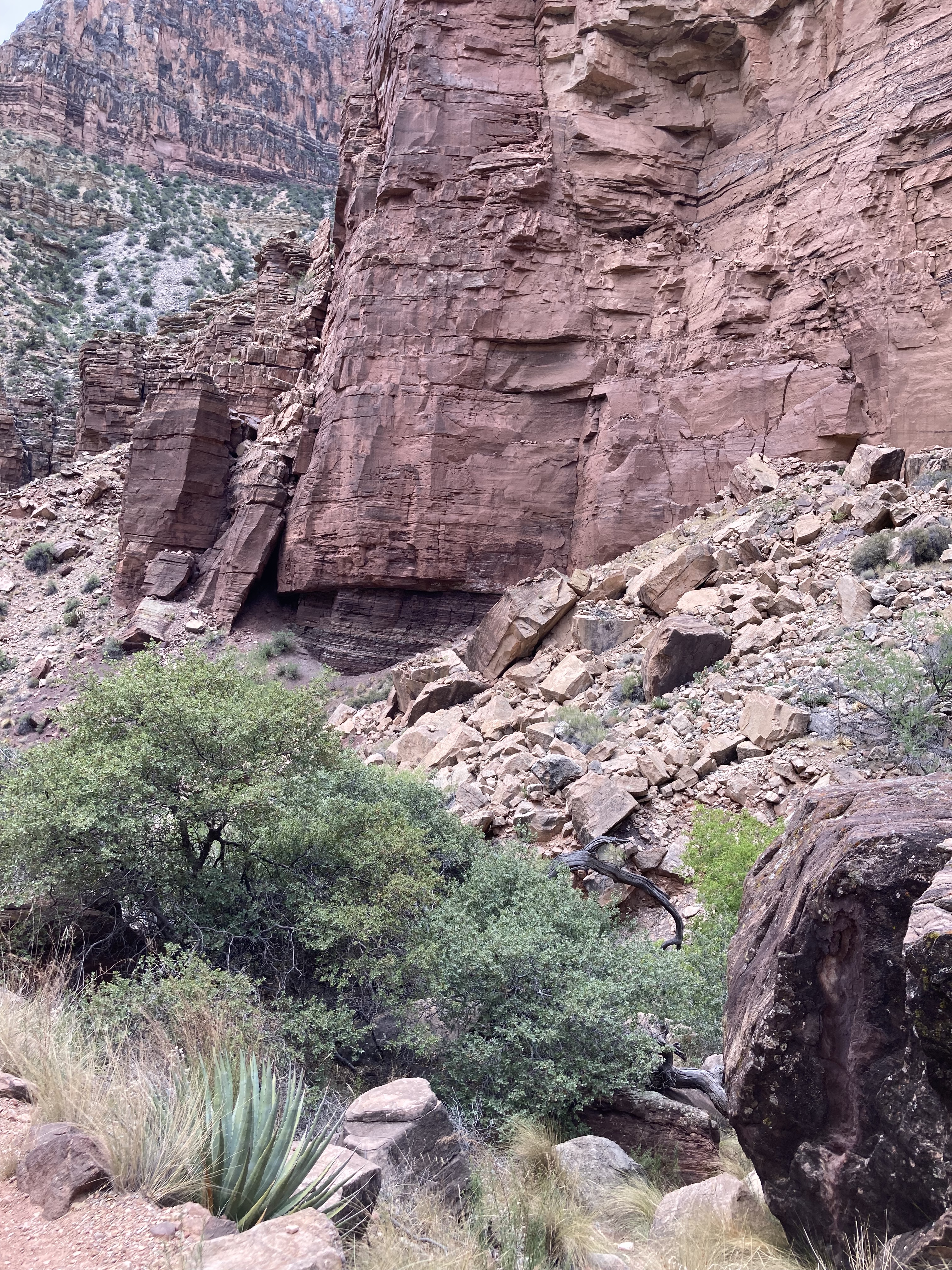
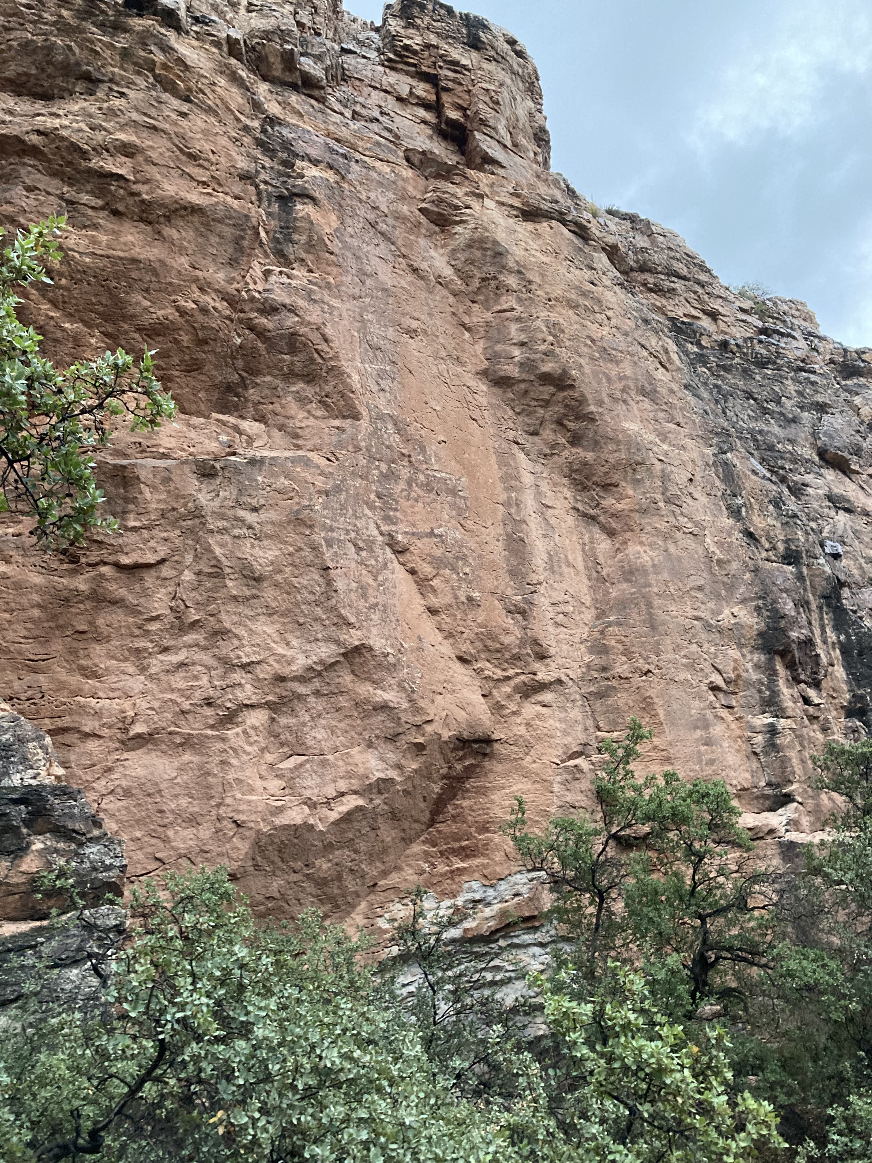
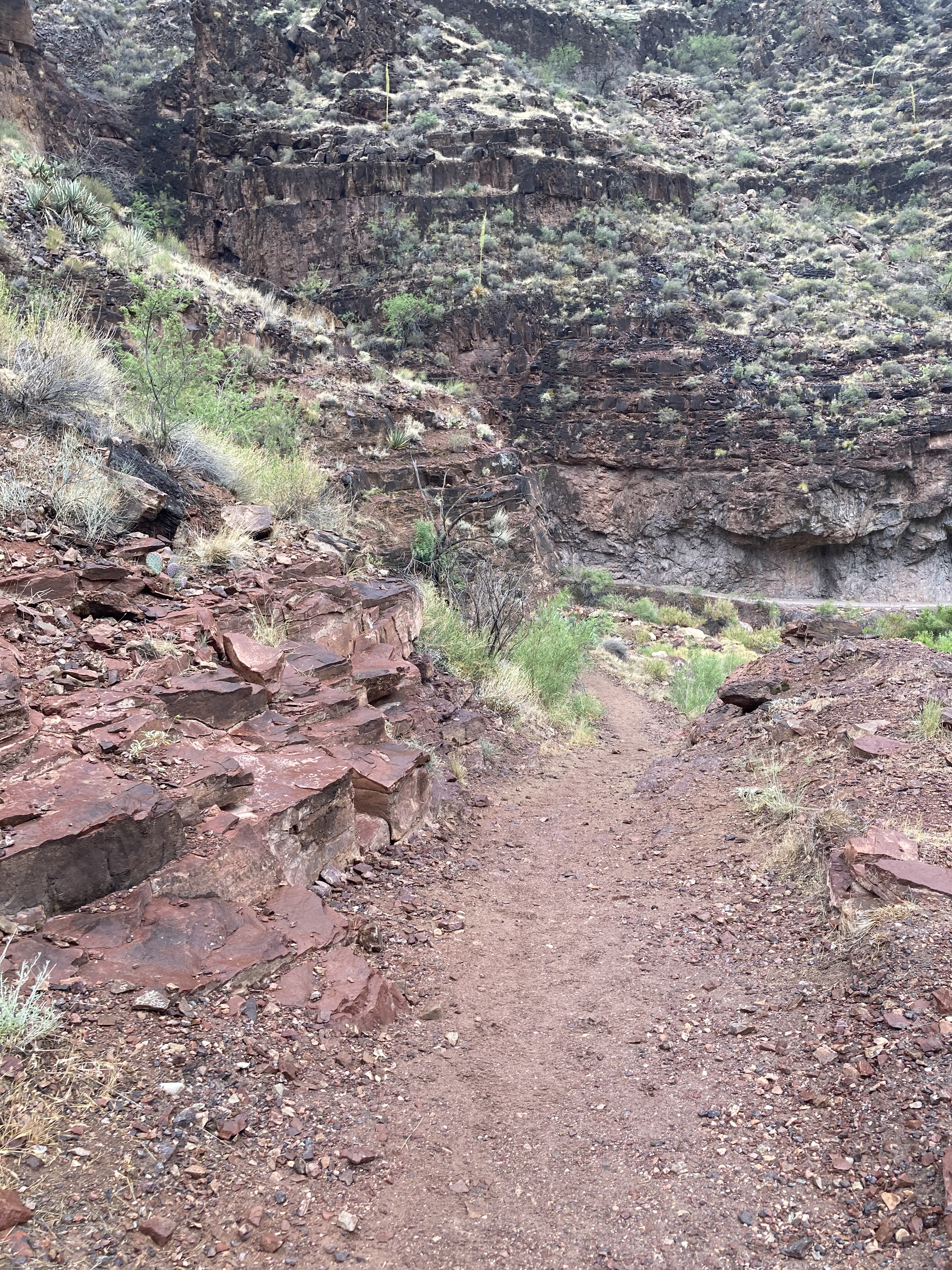
Redwall Limestone 340 – Below Three Mile Rest House the trail steeply descends the sheer red-stained cliff via short switchbacks along the BA Fault.
Muav Formation 504 – continues descending steeply via two short switchbacks before gradually opening into a gentle slope, appears beige from a distance
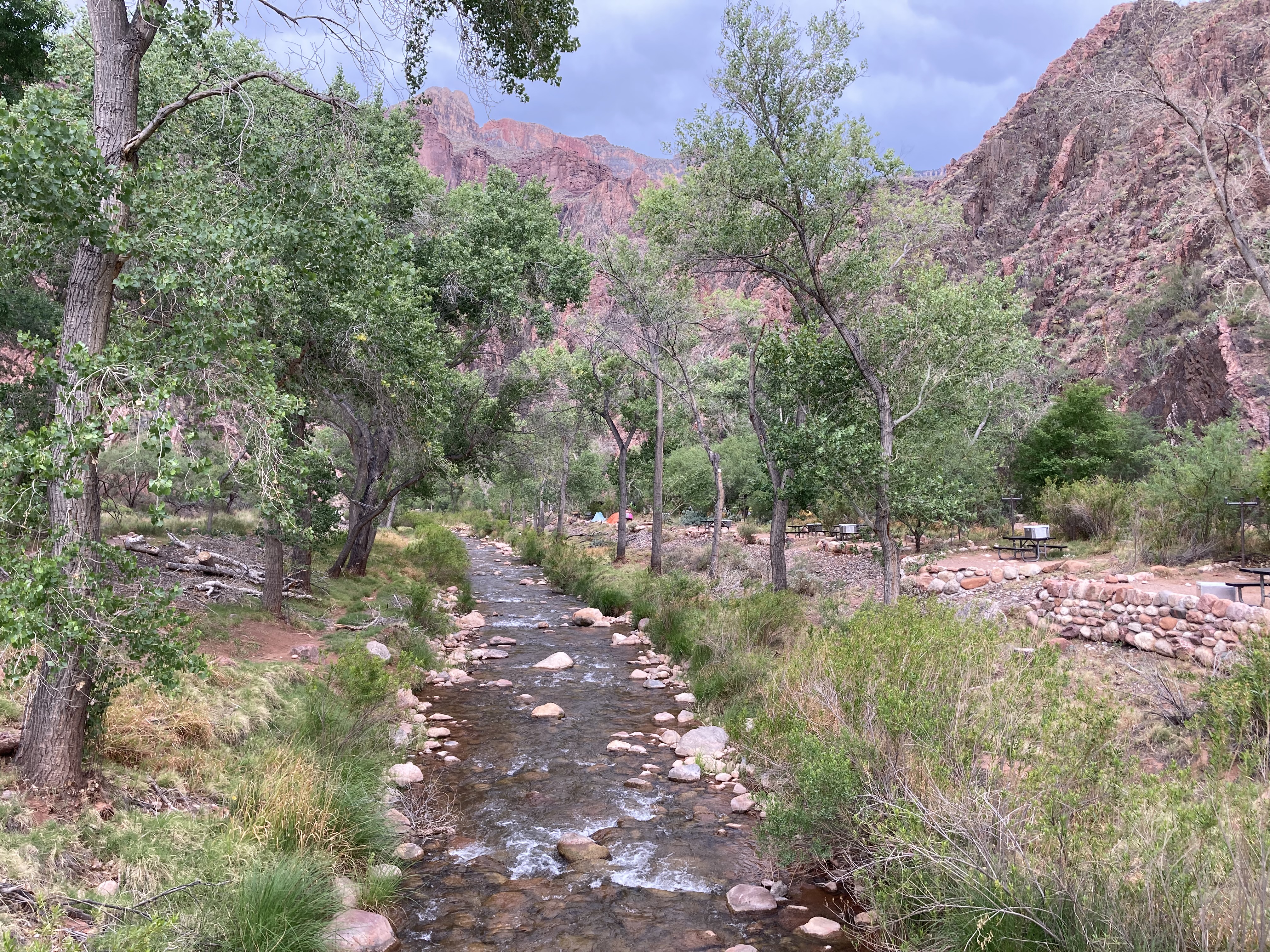
Bright Angel Formation 506 – Havasupai Gardens Ranger Station, Campground & Day Area, most of the Plateau along nearby Plateau Point trail
Tapeats Sandstone 508 – Below the Jct for Tonto East to the bottom of Tapeats Narrows
The Great Unconformity – Tapeats ends below the narrows. Reddish brown granitic basement rocks (Xgr) appear trailside Right and continue through a lush area of creek crossings. The Great Unconformity is highly visible across the creek on the underside of Plateau Point where the west side of the BA fault is higher in elevation.
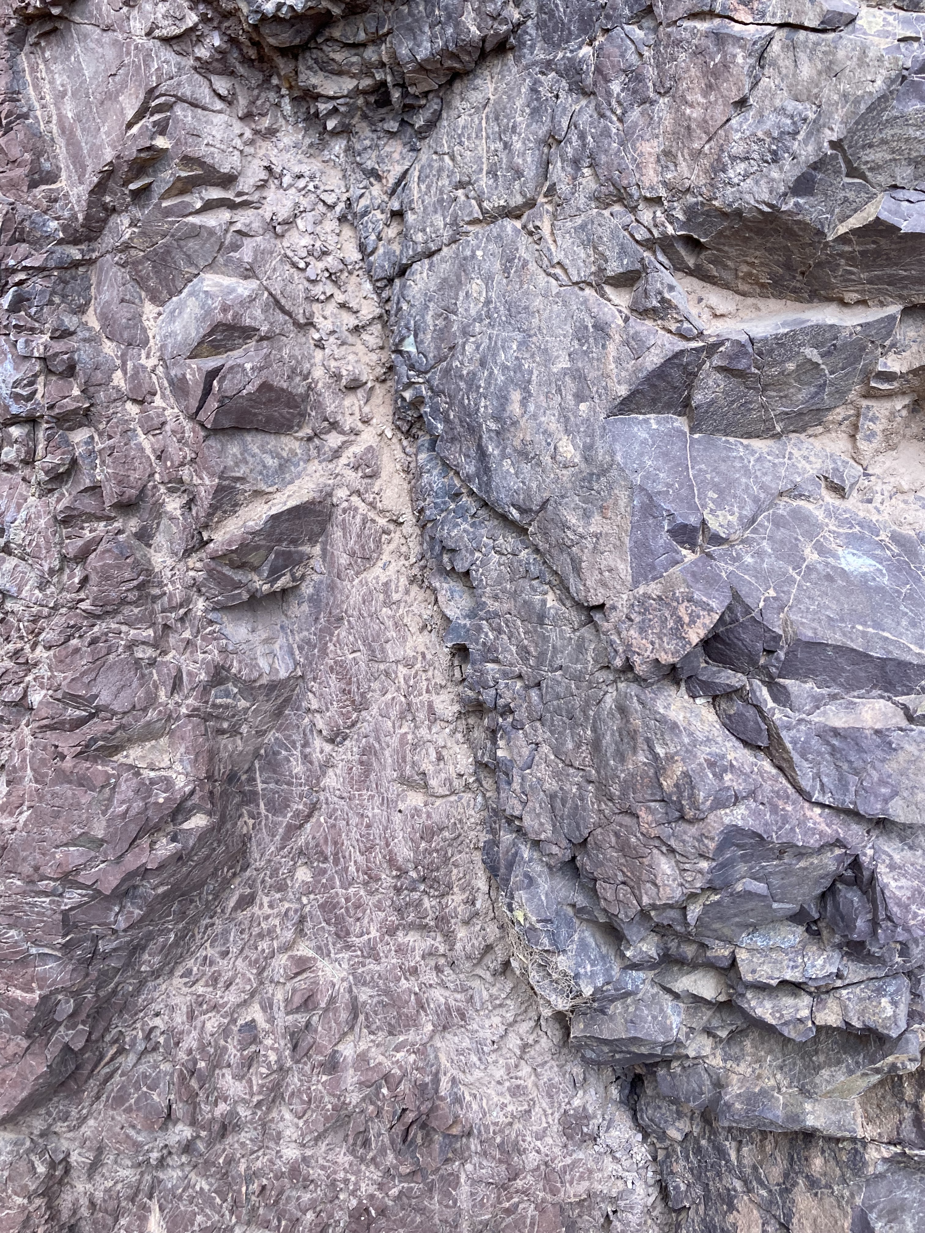
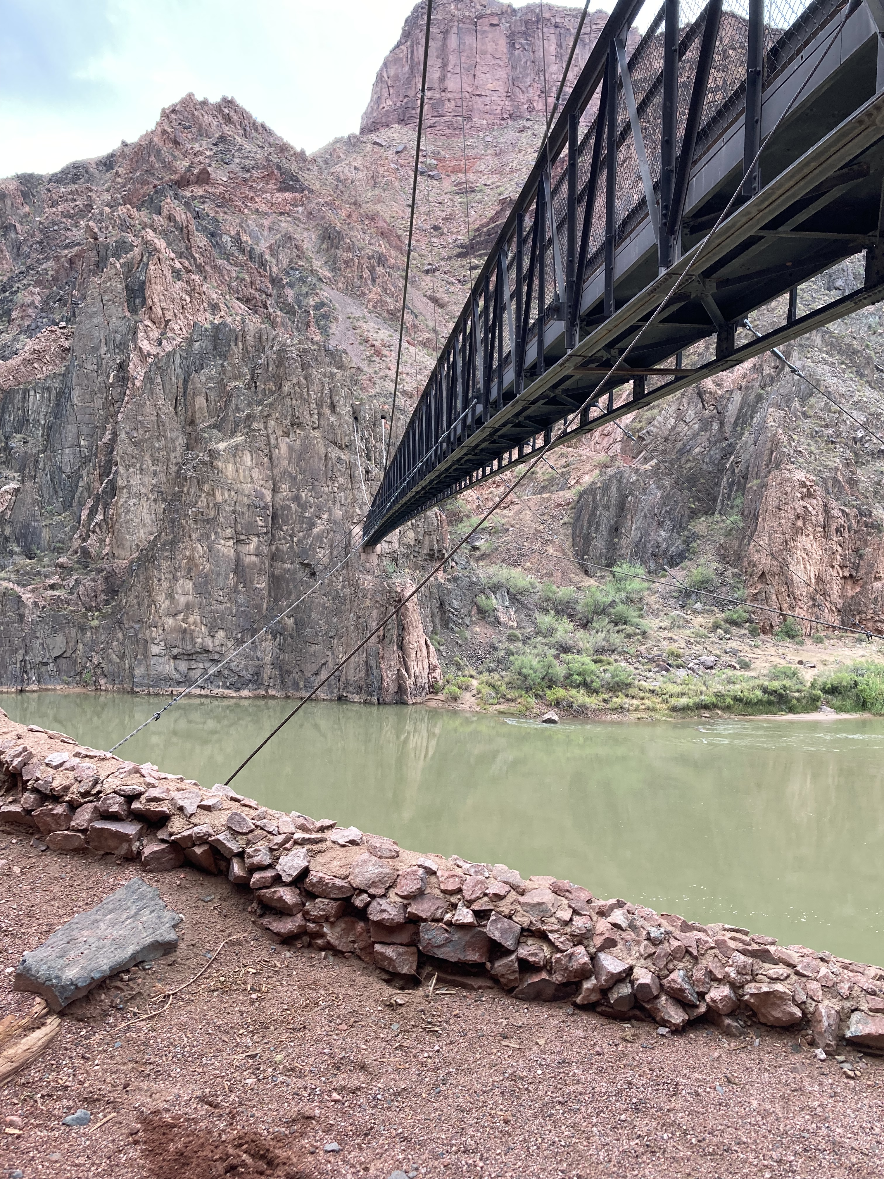
Vishnu Schist & Zoroaster Granite – Basement Rocks – BA Trail to River Trail to Silver Bridge, to BA Campground and Phantom Ranch
Along the Bright Angel Trail and in Bright Angel Canyon, the Zoroaster Granite is more specifically the Granite, Granitic Pegmatite & Aplite Formation (Xgr) – approx range 1700-1662. To distinguish it from other granite formations in the Grand Canyon but still use the familiar terminology, I refer to it as Zoroaster Granite (Xgr). The ‘X’ denotes that the granite was formed in the Paleoproterozoic era (if it was a Y, like Dox (Yd), that refers to the Mesoproterozoic era).
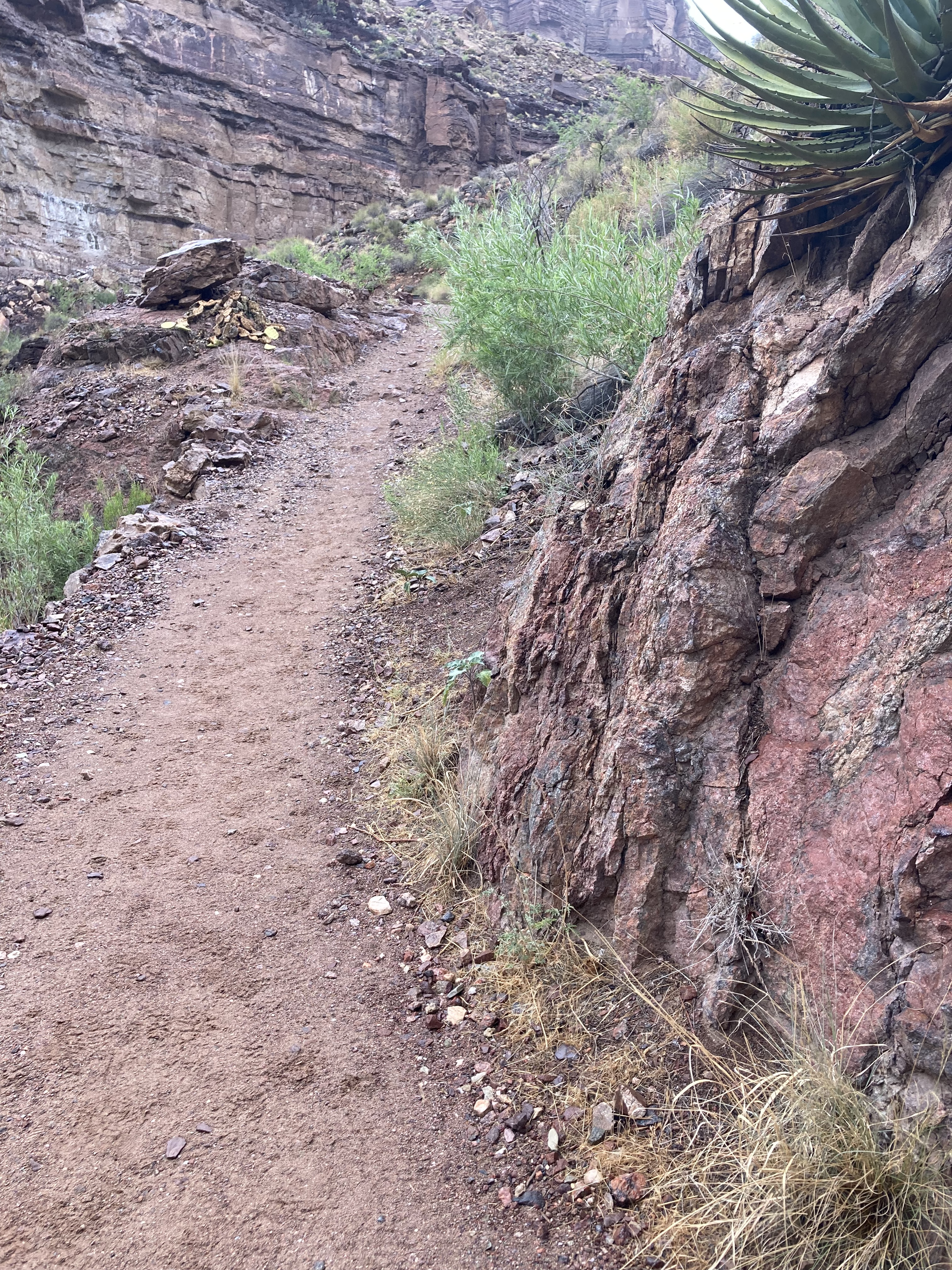
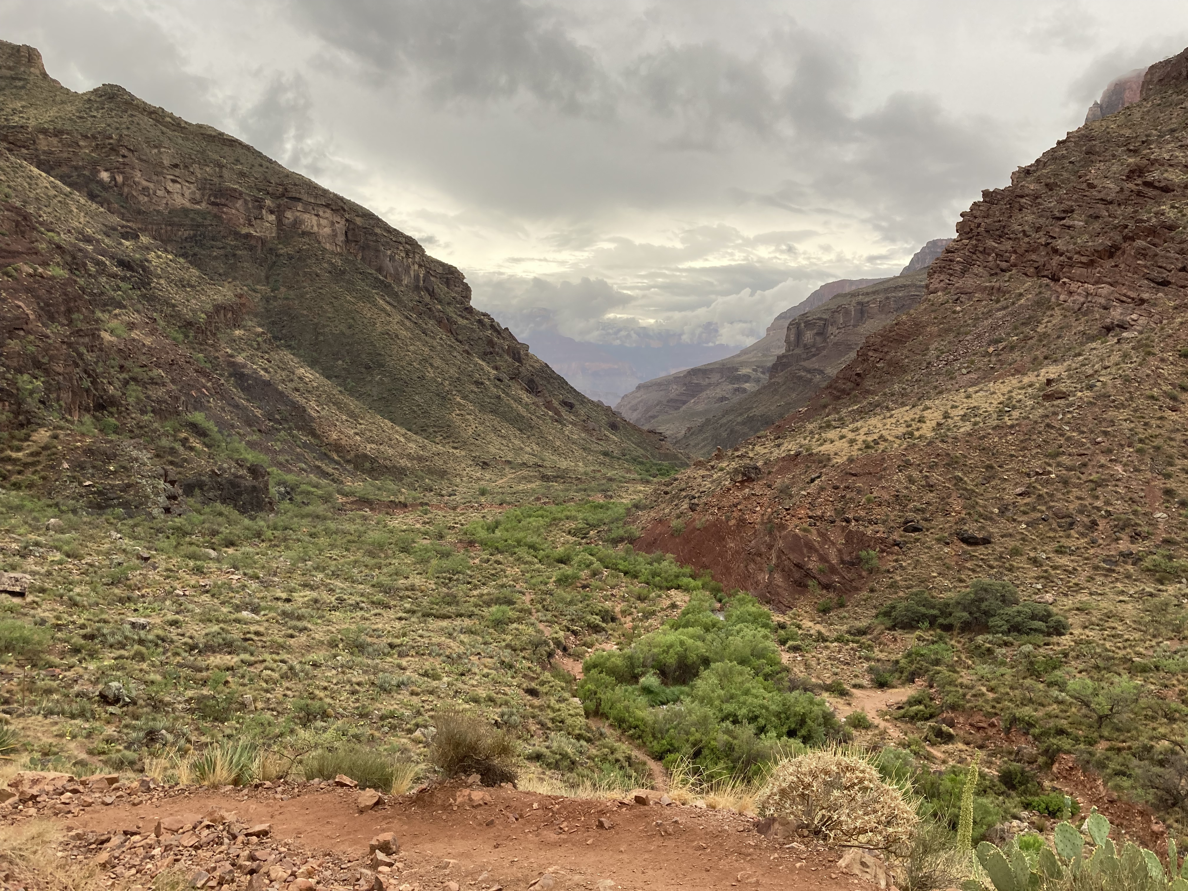
Below Tapeats the BA trail meanders through the reddish brown granitic rocks, soon reaching shallow water crossings in a shaded riparian area. The trail opens up on a ridge. Devil’s Corkscrew can be seen to the east. On the opposite side of the trail, Garden Creek begins its descent into Pipe Creek Canyon. A large trailside rock provides shade or a place to sit to lean. The trail turns right into Devil’s Corkscrew.
Brahma Schist (Xbr) – The trail crosses a relatively flat wash of multi-colored polished rocks at the Bright Angel Fault. The Brahma Schist starts at the fault, continues through the steep switchbacks of Devil’s Corkscrew into Pipe Creek Canyon. Pipe Creek is visible on the Right (east).
Xgr – The trail crosses into the Xgr granitic rocks at BA Fault. Soon the creek appears on the left (west).
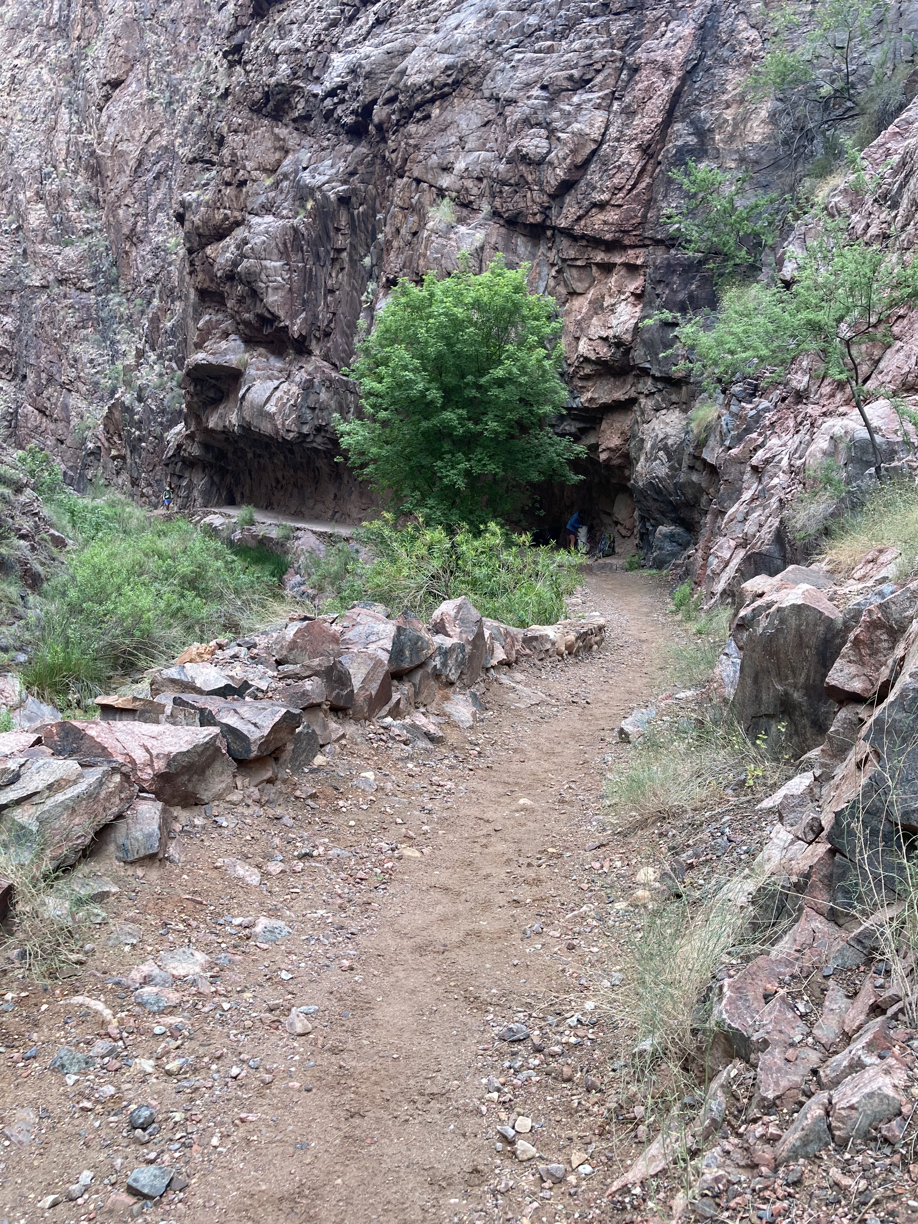
Rama Schist (Xr) – Further on, Garden Creek flows from the left (west) into Pipe Creek at a shallow water crossing (in dry months) along the trail. Hop rocks across. Continue in Rama. River Rest House across the shallow creek is in Xgr. There is a brief crossing into Xgr before reaching Pipe Creek Beach. The trail is in Rama Schist at Pipe Creek Beach and along the River Trail (a continuation of BA trail). Rama ends at a fault line before the trail drops down and passes through the sandy trail and dunes.
River Trail crosses at fault lines into Xgr, then Brahma (Xbr), then Xgr, and Xbr until Silver Bridge. Cross the Colorado River.
BA Campground is mostly in Xbr. Phantom Ranch is mostly in Xgr.
Descending the North Kaibab Trail
North Kaibab Trail descends the Layered Paleozoic Rocks (Kaibab through Tapeats) in the same order as the Bright Angel Trail, but below Manzanita Rest Area it passes through the Supergroup Rocks – Unkar Group before reaching the basement rocks in The Box.
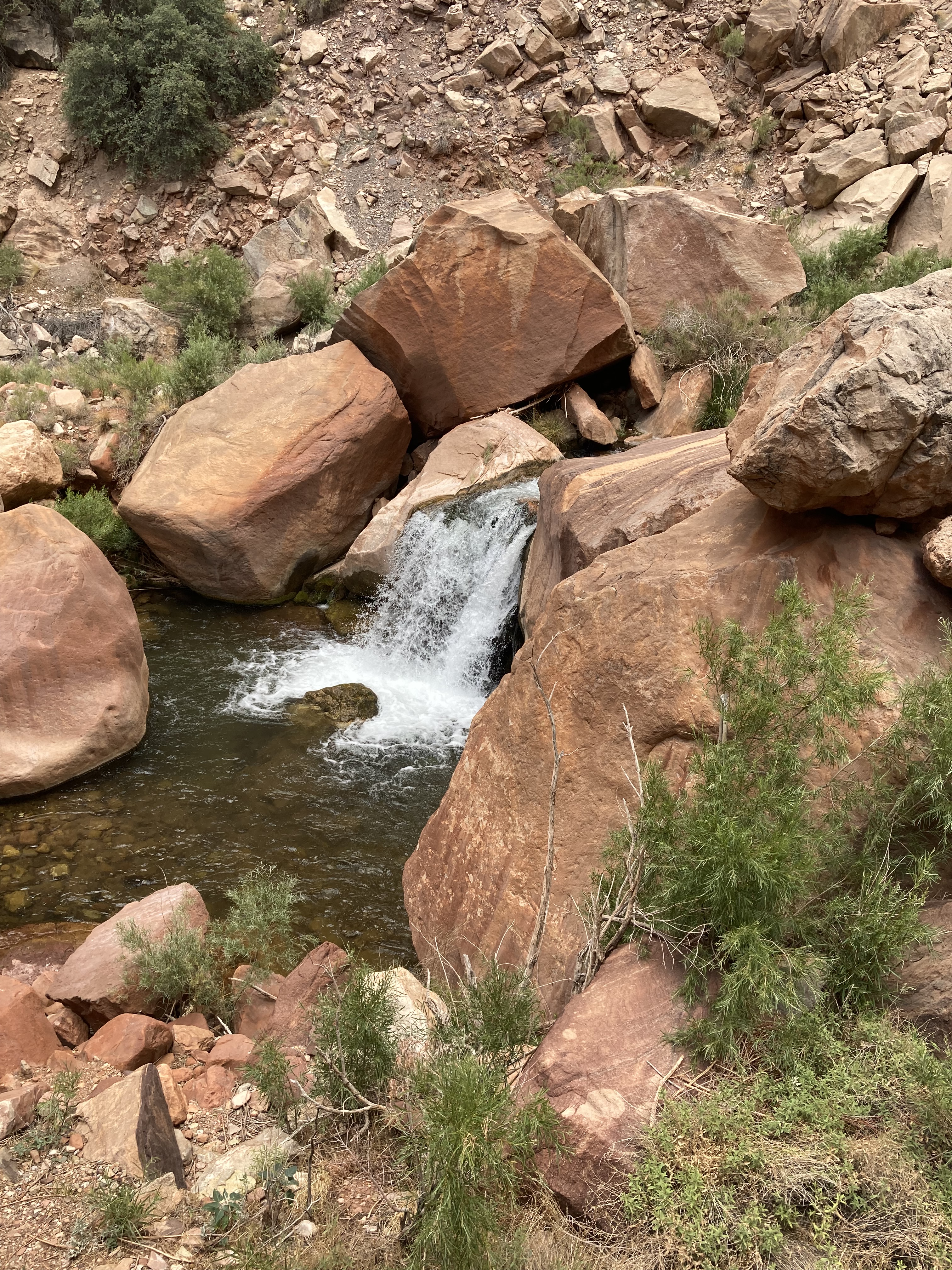
Dox (Yd) 1120 Ma – 1) From the bridge at Manzanita look down creek toward a tall brown Tapeats cliff. Left of the cliff notice a rugged slope where the Bright Angel Fault passes through. 2) Cross the bridge and follow trail in Tapeats as it curves gently right toward the fault. 3) After you pass the fault the Dox starts below the Tapeats Cliff. 4) Look trailside left. The (presumed) Dox layers are brown and tilted. 5) The trail continues in Dox, passing a waterfall along a big left curve. 6) Notice the tilted Dox below the horizontal Tapeats cliff. 7) As you continue toward Cottonwood, the Dox below the Tapeats gets easier to see, especially on the right (west) above the creek. 8) If you are slumbering at Cottonwood Campground, you’ll be cradled in the 1.1. billion year old Dox. From camp looking toward the creek, the lower cliffs and slope are Dox. Note: East of camp, the slope is Dox but the lower cliffs are mostly Tapeats.


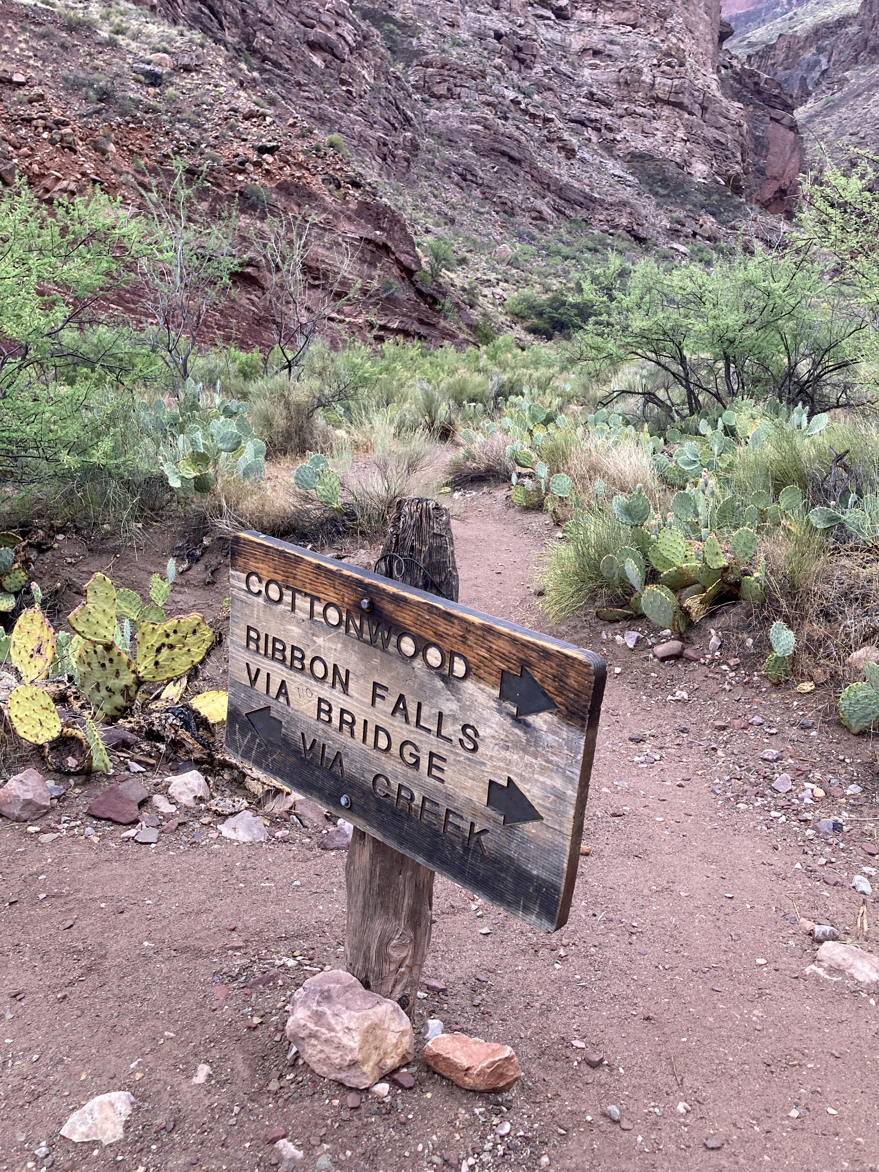
Shinumo (Ys) 1130 Ma – Most of the trail below the confluence of Bright Angel Creek & Wall Creek is in beige-pink-purple Shinumo until the ascent of a hill of landslide deposits (‘Asinine Hill’) just left of the sign at the upper Jct of the spur trail to Ribbon Falls.


Hakatai (Yd) 1230 Ma – 1) The upper Hakatai on NK Trail starts at the bottom of the landslide deposits descending Asinine Hill. 2) Below the lower junction for Ribbon Falls the trail crosses into a long stretch of 3) course black or dark gray Unnamed diabase sills and dikes (Yi) 1070 Ma. 4) The trail crosses into the red Hakatai again just above the vertical Bass Rocks.
Bass (Yb) 1255 Ma – 1) tall vertical Bass rocks immediately left of the trail are visible from a distance on the descent of North Kaibab. After passing the rocks the trail bears right and then curves left. 2) Along the curve, the trail enters Bass — the solid brown Bass layers can be seen and touched trailside. The trail then crosses a footbridge over a swamp. 3) Large vertical slabs of Bass taper down. The trail briefly passes through Zoroaster Granite (Xgr) and then Rama Schist, then back into Bass. 4) The rich brown Bass layers fade out trailside.


Vishnu Basement Rocks - Descending North Kaibab Trail – Brahma Schist (Xbr) 1750, Rama Schist (Xr) 1751, Zoroaster Granite – (Xgr) 1713-1740 – at the lower end of the footbridge over the swamp, as the North Kaibab trail passes tall vertical tapering Bass on the left, it crosses through a small nondescript patch of Zoroaster Granite. It then passes along a cliff where you can touch or lean into the Rama Schist immediately trailside left. The trail goes back into Bass for a few minutes before reaching the first footbridge over Bright Angel Creek, where it continues mostly in Rama Schist with some patches of Zoroaster Granite (Xgr) through The Box. Phantom Ranch rests on Zoroaster Granite (Xgr). Bright Angel Campground rests in mostly in Brahma Schist. The delta and Boat Beach sit in Xgr. Black Bridge is anchored in Brahma Schist on both sides.