Like a Puzzle
A strange sight sits ahead as I make my way the North Kaibab Trail. I can just make out a column of dark rocks sticking out of the ground. They looked like sentries guarding the canyon.
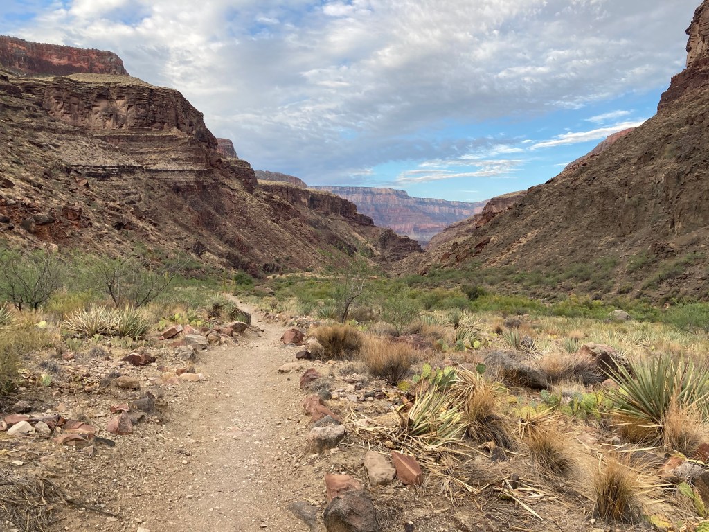
The sentries, it turns out, are Bass Limestone (1255 Ma), the oldest member of the Grand Canyon Supergroup. Immediately uphill is a patch of Rama Schist (1751 Ma) with its distinct pink and gray stripes. If the Bass is 500 million years younger, shouldn’t it sit above the Rama Schist? Actually it does, just not on this side of the Bright Angel Fault. The fault runs between the Bass and Rama Schist. A bent telephone pole points the way toward a side canyon below Hattan Butte, between Brahma Temple and Devi Temple.
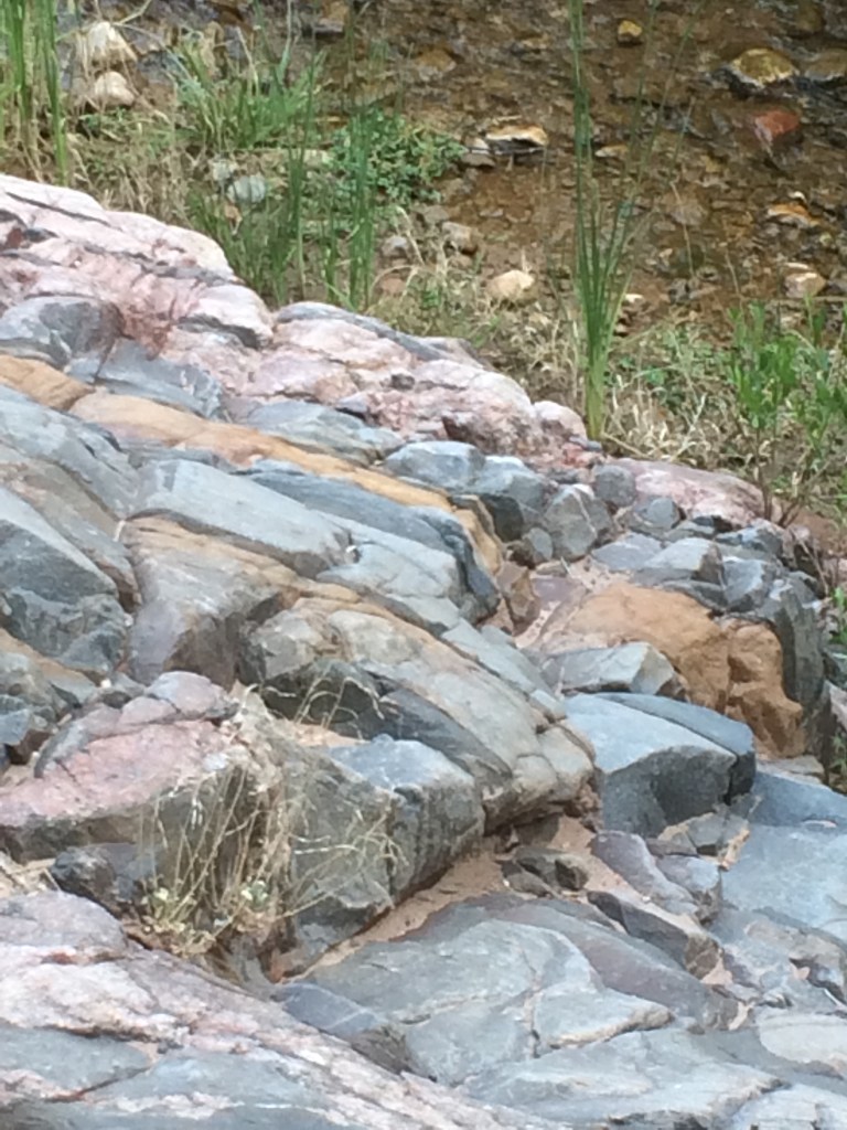
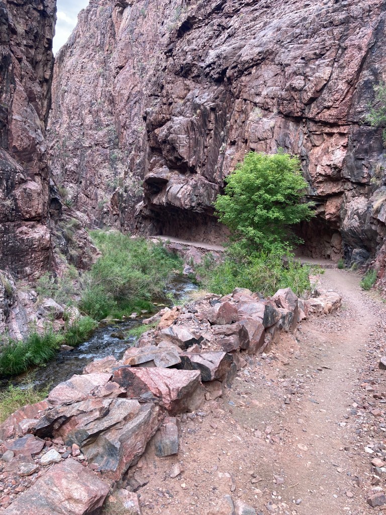
The Rama Schist in this photo runs along the Bright Angel fault through The Box. It parts ways with the North Kaibab Trail after the Clear Creek sign and before Phantom Ranch. It’s overlain by Bass, Hakatai and Shinumo at Supergroup Island, then exposed and visible across and along the River Trail, continuing along trail to Pipe Creek Beach and then fading into the Zoroaster Granite (Xgr) in Pipe Creek Canyon after Garden Creek meets Pipe Creek.
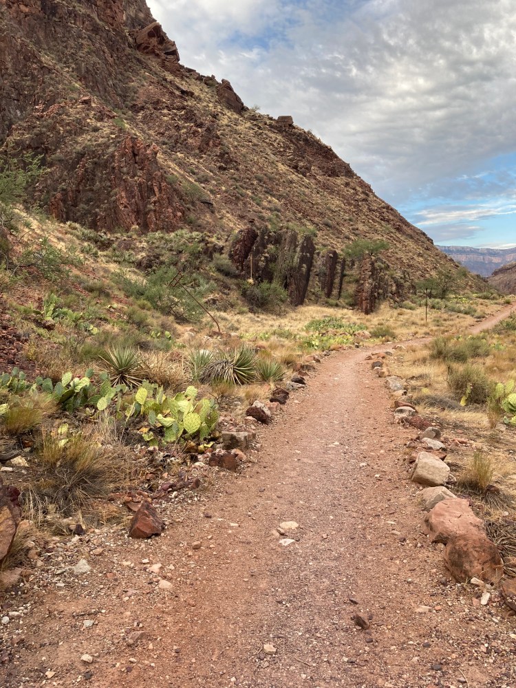
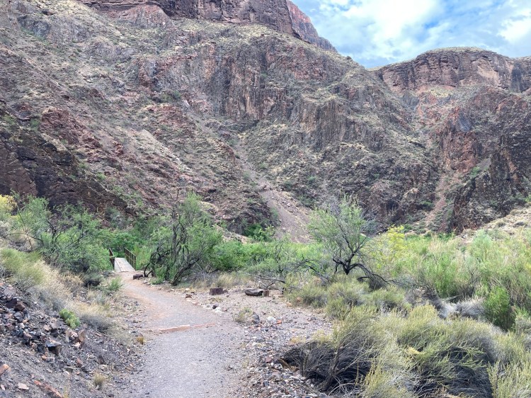
A boardwalk over a small swamp marks a narrowing through the Rama Schist and Zoroaster Granite (Xgr) basement rocks. The small trees are Box Elder. The trail is in Bass. A dark brown slope of Bass is visible here on the left as though the bridge is heading directly toward it. The Rama Schist is the vertical layered pink and grey cliff. A slope of Xgr sits between the Bass and Rama.
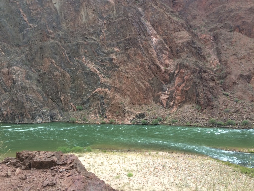
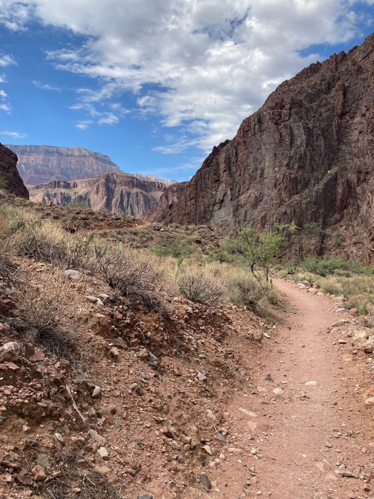
Just below the junction for Clear Creek Trail, the last of the Rama Schist until it reappears across from a long rocky beach at the Colorado River.
The Rama Schist emerges with spectacular folds at the Colorado River. The contact with The Zoroaster Granite (right), highly visible here, started on the hillside above the vertical Bass rocks on North Kaibab and continues south of the River up Bright Angel Canyon.