These Grand Canyon Supergroup rock formations belong to the Unkar Group. The Y indicates the rocks were formed in the Mesoproterozoic era. The members of the Unkar group were formed in a basin, originally horizontally, during the assembly of the supercontinent Rodinia, and then tilted by tectonic forces around 1100 Ma.
Yi Unnamed diabase sills and dikes (1070 Ma ± 70) – Yi intrudes the Hakatai on the North Kaibab Trail. The sand is course and black.
The Yi group may be related to the eroded Cardenas Basalt (Yc 1104 Ma). The Cardenas Basalt is a volcanic layer. In the eastern Grand Canyon it sits above the Dox – Ochoa Point Member and below the Nankoweap Formation. Cardenas Basalt intrudes the Unkar rocks and basement rocks as sills and dikes.
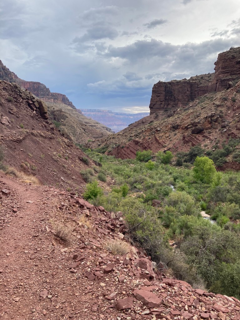
Yd Dox Formation 1120 Ma – appears mostly a rich brown color along the North Kabab trail and nearby tilted slopes.
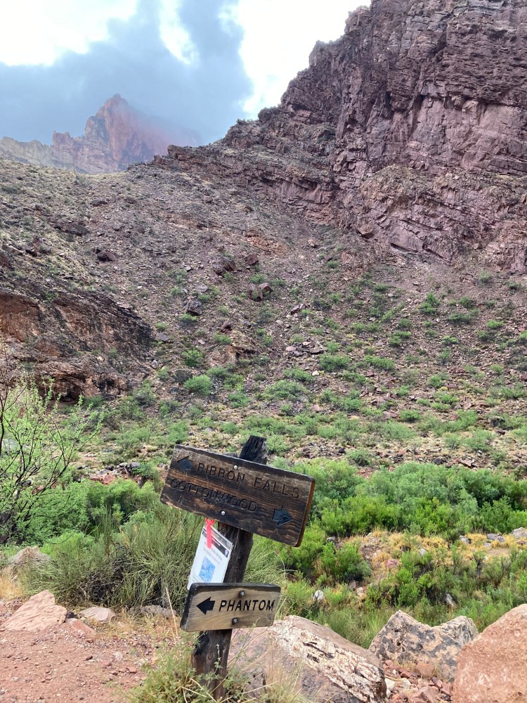
Ys Shinumo Sandstone 1130 Ma – appears tan or beige along the North Kaibab Trail and beige, tan, or pale purple on the nearby cliffs.
At the upper junction for Ribbon Falls the trail is in Shinumo. A pale purple cliff on the upper right is Shinumo. The Yi intrudes below the Shinumo in this location, but I am uncertain if the ledge on the left is Yi or Ys.
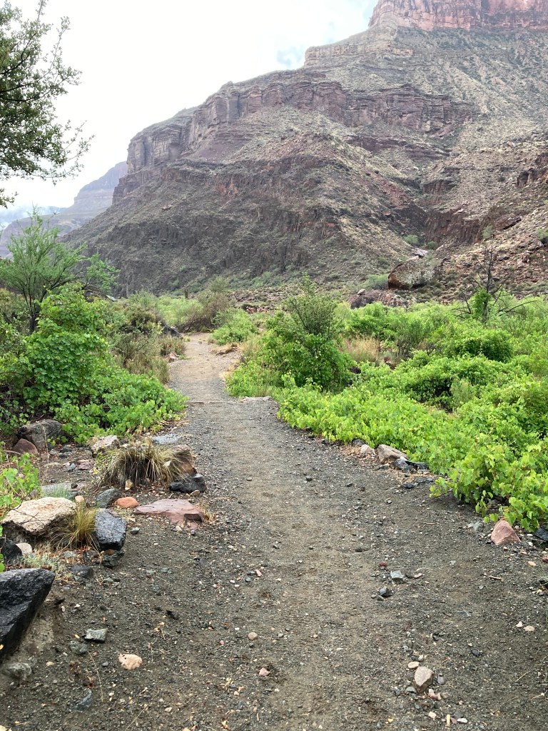
Yh Hakatai Shale 1230 Ma – a broad view of the Hakatai trail and slopes.
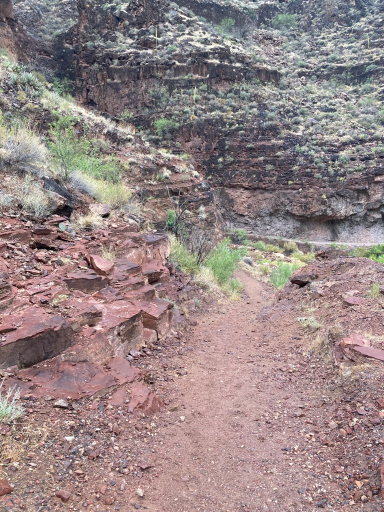
North Kaibab Trail, lower left turn at Asinine Hill.
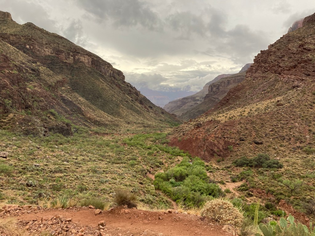
Yb Bass 1255 Ma – the trail meanders through the lower end of the Bass rocks.
North Kaibab Trail – milk chocolate colored Bass rocks trailside. Upper right – brown Bass overhangs a lighter shade of trailside Rama Schist.
